Category: Central and Local Government

  • LocalMaps 3.x (Beta)

    LocalMaps 3.x (Beta)

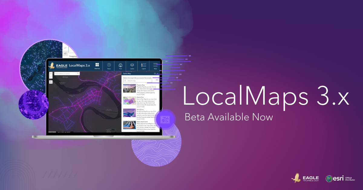
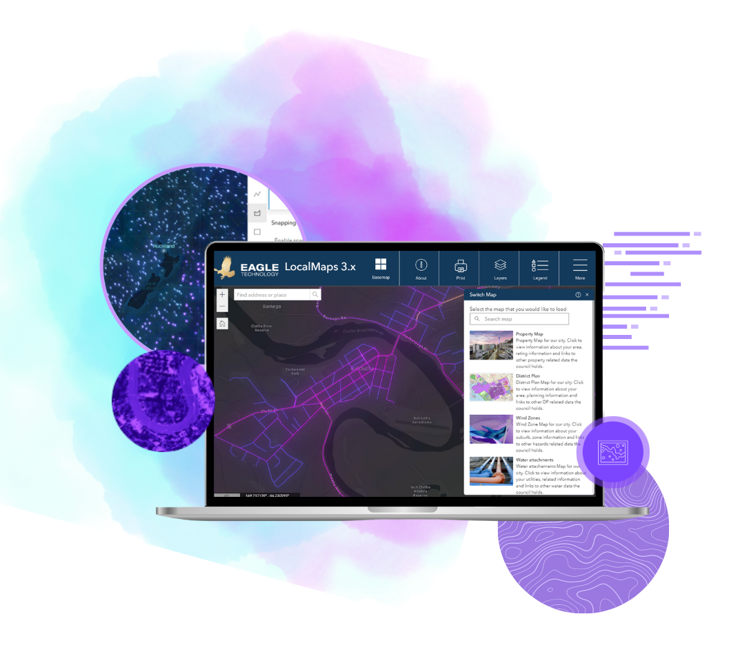
    It’s here! We are very excited to share that the new LocalMaps Viewer 3.x in Experience Builder is available in Beta.

    This Beta release is ready for you to explore and apply in your own organisations and is a good chance to see where the future of LocalMaps is headed. It’s been a long time coming and rest assured this is only the start – 2023 is going to be a pretty great year for LocalMappers all around!

    Now, where do we start…

    What’s New in the Viewer (well…everything)

    It’s a very fresh restart for the LocalMaps Viewer – leveraging Esri’s Experience Builder, you can make the most of the modern technology that underpins this application. New JS API v2 benefits you can make the most of include:

    • Fast loading – useful for rendering district plan/property layers
    • Lazy loading – for widget and asset-images
    • Search performance optimization

    And then there are the widgets. As we have mentioned, we have prioritised the most used tools to pull into this beta. This will give you a taste of what’s coming as well as let you test out your own key workflows and provide you the opportunity to give feedback towards the ongoing development of LocalMaps.

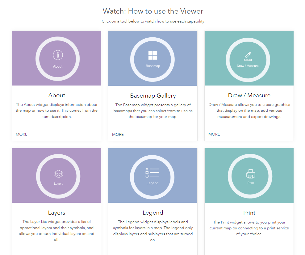
    Widgets Available:

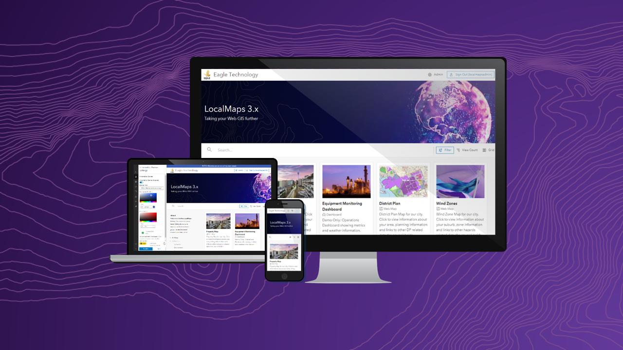
    But nothing is better than giving it a go yourself, so take a look at the Eagle LocalMaps Demo site.
    LocalMaps NZ Resource Centre

    We know 3.x is a bit to take in and with our 2023 plans, we want to make sure you have all the info you need in one place. The new LocalMaps NZ Resource Centre has been created just for that – to give you all you need related to LocalMaps 3.x.
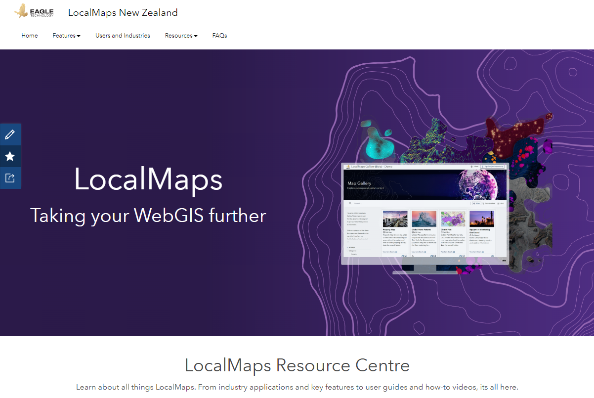
     

    From key features, use cases, and useful how-to videos, this site is a one-stop shop you should definitely bookmark. Of course, our trusty Geonet Page is still your go-to location for ideas and voting on what’s coming.

    What’s coming up next?

    So, as you can see, there are a few tools still yet to be included in 3.x. Our development focus now is to ensure we can provide all functionality you have in v2.x and make that available (and improved based on the ideas you have submitted to you) in v3.1.

    In the next few months, we will be building new and improved 3.x widgets for Add Data, Attribute Table, Bookmark, Elevation Profile, Save, Select, Share, Splash, and Zoom to Point. As these tools require in some cases a configuration element and backend, therefore the LM administration app is also in progress. Watch this space (and the What’s New page) for snippets as we go!

    Getting started with 3.x

    To get LocalMaps 3.x. Viewer, the first thing is to check out the technical requirements. The good news is, it is not much different than the requirements you have already met for v2.3.2. To learn more about implementation, contact your Eagle Technology Account Manager.

    As this is in Beta, your feedback is more valuable than ever – so if you have ideas, thoughts, questions, or comments of course, reach out to us at localmapssupport@eagle.co.nz or pop your ideas on our page here.

    Let us know what you think.

    The Eagle Technology LocalMaps Team
  • LM Viewer 3.x (beta) – Release Info and sneak peek

    LM Viewer 3.x (beta) – Release Info and sneak peek

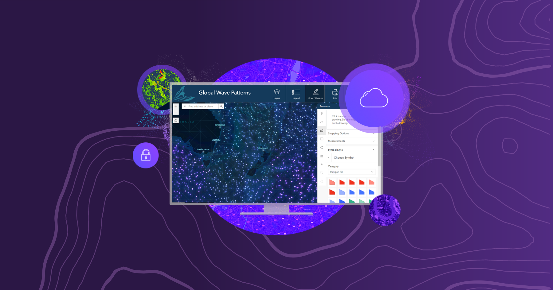
    2023 is here and very soon, a new, modern, and refreshed LocalMaps Viewer will be too. Here are a few sneak peeks/features of the Viewer which will be available from Feb 9th, 2023.

    While we had aimed to release a BETA of the Experience Builder LocalMaps 3.x Viewer in 2022, we realise that many organisations likely would only be looking to get their hands onto the new viewer in the New Year.

    Below are a few sneak peeks/features info on the Viewer which will be available from Feb 9th 2023. As we have mentioned in a few coms and presentations around the viewer, we have focused on the most important/well-used components for our first beta release. So, while not ALL features or widgets are in there just yet, rest assured we have ticked off many requests to tide you over while we finish off the remaining widgets and crack into the admin UI for Version 3.1.   

    So here we go – some of our fav new features of the Viewer 3.x (Beta).

    JSAPI v4 Improvements including:

    • Fast loading – useful for rendering of district plan/property layers
    • Lazy loading – for widget and asset-images
    • Search performance optimization

    NEW Draw / Measure (and…cue applause!)

    • Taking inspiration from the Map Viewer Sketch capabilities, the new Draw / Measure has a fresh UI, taking in many enhancements from you all and designed to take you intuitively through annotation workflows.

    • Widget UI Improvements – Across the LocalMaps widgets, we have leveraged a combination of Esri’s Calcite Design Language & Esri’s Experience Builder team’s own UI components to develop a new look and feel in the Layers, Legend, and Print tools.
    • General Usability improvements e.g.Icon highlights for open widgets.

    That is just a little taste of the Viewer 3.x Beta – coming to you very soon! Keep an eye out here or on the LocalMaps Community page for more updates and how to get your hands on this next-gen experience.

    Nga Mihi,

    The Eagle Technology LocalMaps Team
  • Urban Digital Twin and NPS-UD

    Urban Digital Twin and NPS-UD

    In order to ensure New Zealand’s towns and cities are well-functioning urban environments that meet the changing needs of our diverse communities, the National Policy Statement on Urban Development (NPS-UD) was announced in July 2020. It introduces a new urban planning approach along with new objectives and policies and is designed to support well-functioning cities which meet the needs of communities into the future. It requires city councils across New Zealand to make changes in their district plans to enable higher density, more housing supply, better access to public transport and overall, to ensure a more efficient and sustainable urban environment.
    As you would expect, a core part of this work relates to spatial data being captured, stored, analysed, and visualised and here at Eagle Technology, we have been working with city councils across New Zealand to develop workflows to support this initiative.
    These workflows allow councils to incorporate NPS-UD objectives and policies leveraging Digital Twin and Esri ArcGIS smart city planning tools.

    Eagle’s Omid Khazaeian has created an ArcGIS StoryMap which introduces Esri ArcGIS Urban as a new smart city planning tool and elaborates on some of its key use cases for NPS-UD in New Zealand context.
    We are continuously developing and updating content related to this this exciting space and are very keen to have feedback from this community.

  • LocalMaps Gallery 3.x (Beta)

    LocalMaps Gallery 3.x (Beta)

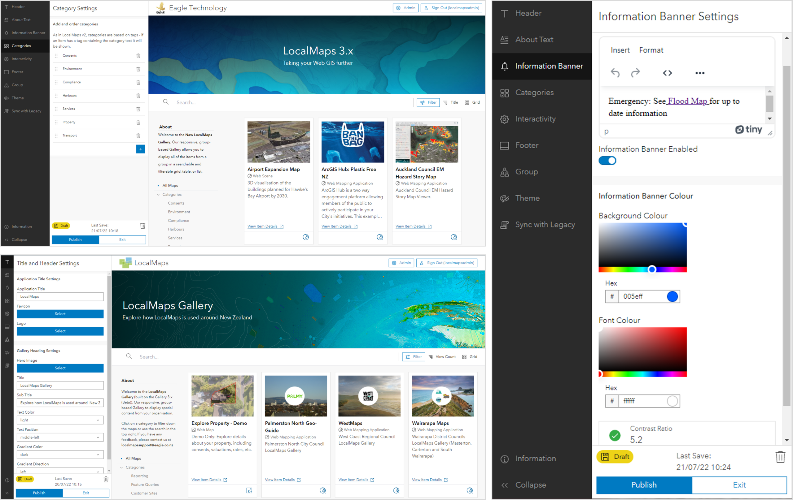
    LocalMaps 3.x is the next generation capability that will take your Web GIS even further. Today we are pleased to release the first component for 3.x for users to get stuck into. A new and revitalised Gallery frontend. The LocalMaps Gallery acts as a shop window into many organisations spatial content around New Zealand. As much as it is used, it is one part of LocalMaps that has not been altered too much since its inception – so naturally, it has been well overdue for some revitalisation.

    We have listened to a variety of user feedback to build the Gallery – what works, what doesn’t work and how people use the app right now. From this, we have built a more modern gallery using Esri’s Calcite Design System that allows for flexible configuration, greater style options and the ability to live preview in the same tab before saving your changes to the live site. This Gallery is in beta for its first release – so a great chance to run it alongside your existing 2.3.2 Gallery.

    Check out this Gallery 3.x (Beta) StoryMap to see the key features, install details and an invite for feedback.

    Thank you to all our Early Adopters for your ideas, feedback and input into the development process. We will be looking for more Early Adopters for the Viewer 3.x coming out later this year (check out the above StoryMap for info) so let us know if you are keen to get involved. For details on how to get the Gallery set up, touch base with your Eagle Technology Account Manager.

  • What’s New in LocalMaps 2.3

    What’s New in LocalMaps 2.3

    LocalMaps 2.3 was released this month! 

    This is our sixth release since the solution’s inception in 2015 and with it has come some great new features for users.

    Scroll down to see some of the key updates in this version…

    NEW Conditional Reporting

    • Admins can now combine a series reports into one “Conditional Report”. When the user runs this, depending on what layers their property intersects with only the applicable reports will be pulled into the output. 

    • e.g. Hazards Reporting: If a Property intersects with a flood layer, include a detailed report with text/map/image elements about the risk. If a parcel does not intersect, do not include the element but include other reports.

    Reporting Enhancements

    • Generate reports as a Word document

    • Generate reports based on a buffered area

    • Include Inline maps

    • Include XY’s

    • New rich text editor for text elements

    • New table element editor to provide more flexibility of table appearance

    • New conditional text element

    • New report button to generate reports within viewer pop-ups

    Draw / Measure Enhancements: Users can now export drawings as GPX and KMZ

    Search Enhancements: Users can tick on or off what searches to use from the drop-down. They can also preview a search result by hovering over the suggested result to zoom to the location before. These can be disabled by administrators if needed.

    Feature Queries: You can now build feature queries off a hosted feature tables.

    Want to get onto Version 2.3? Contact your Eagle Account Manager for more information. 

    If you have any comments, questions or suggestions please feel free to contactlocalmapssupport@eagle.co.nz.

    Ngā manaakitanga,

    The LocalMaps Team 

  • LocalMaps 2.0 is here!

    LocalMaps 2.0 is here!

    As our major release for the year, 2.0 is filled to the brim with new features, greater administration capabilities and various UI enhancements. Scroll down to see some of the key updates.

    NOTE: the below is an overview of key features in this release. Head to our LocalMaps Community page to see the full release notes and resolved issues list for Version 2.0. https://community.esri.com/groups/localmaps-nz 

    Viewer

    With Version 2.0 we have enhanced several of the existing widgets, brought in the Add Data widget and in some cases updated widgets with Esri’s OOTB tools.

    Widget updates:

    Select

    Updated to Esri’s OOTB Select tool however, administrators can now additionally enable Advanced Select tools for selection by attribute and / or feature.

    Draw / Measure

    Leveraging the best of both tools, LocalMaps has combined the OOTB Esri Draw and Measure widgets into one powerful tool. Users now have interactive measurements shown whilst tracing line/shape, the option to include bearing measurements, a fixed radius and line segment lengths.

    Zoom to Point

    Capture and convert coordinates – NZTM, NZMG, WGS84

    Switch Map

    Filter map to switch to using tags or titles

    Basemap & Share widgets

    Updated to Esri OOTB

    NEW – Add data

    Add data from an ArcGIS online group, file or UR

    NEW – Widget Help
    Users can now see step by step how to use a widget in LocalMaps by clicking the info icon located in the top right of the widget header.

    Coming soon! Check out the Eagle Youtube Channel for full “how-to” video for LocalMaps Widgets.

    LocalMaps Theme for Web AppBuilder

    This release now includes a new LocalMaps Custom theme for Web AppBuilder for ArcGIS. This gives organizations the flexibility to build their own Web Apps, bring in specific widgets outside of the core LocalMaps widgets while maintaining the consistent styling of the LocalMaps viewer.

    Head to the LocalMaps Community page to find out how to build your own LocalMap with Web AppBuilder

    Administration

    The LocalMaps administration tools continue to grow giving you even greater flexibility when configuring your LocalMaps site. Below are some of the key new tools and enhancements.

    NEW sections:

    Hilltop

    Hilltop software is used in New Zealand by regional councils, electricity companies and consulting engineers for storing and analyzing environmental data. The new Hilltop section in LocalMaps allows you to pull data from Hilltop Server and create a new hosted feature layer to view and query in your webmaps and web applications.

    Feature Queries

    LocalMaps Feature Queries give you the ability to view additional information about a property that doesn’t exist on the layer itself. Essentially, you are creating a related record on the fly and then displaying this information in a layer’s popup.

    Analytics

    This section lets you quickly and simply see how people are using LocalMaps, what maps are most popular, what widgets are most popular and who are your heavy users.

    Reporting

    • Dynamic text reports
      • Dynamic text reports allow you to use placeholders with specific syntax that the LocalMaps reporting engine understands. When a report is then generated, LocalMaps will replace your placeholders with real values and give you a nice printable document back. 
    • Datasources
      • Add SQL or Oracle Databases
      • Add Hilltop Servers
    • Maps & Apps (Previously Maps tab)
      • Web apps can now be feature maps too
      • Click on Map thumbnail to launch viewer directly from Admin
      • Assign a Widget to open on map launch
      • Order how widgets appear in the map toolbar
      • Set map to be default e.g. the viewer URL will go to this
      • Enable the Advanced Select Widget

    Watch and learn

    Coming soon! Keep an eye on the Eagle Technology Youtube Channel for full “how-to” video for the LocalMaps Viewer and Administration .

    The LocalMaps Team – Dec 2017