Inspire Fascination, Invoke Curiosity, Spark Interest
More and more geospatial professionals are helping schools around New Zealand to introduce GIS in the classroom.
Some of the ways geospatial professionals are helping include:
- Talking to a class about what they and other geospatial professionals do with GIS in their job
- Providing technical assistant in a classroom where a teacher is utilising GIS
- Providing geospatial data to a teacher to help them write lessons for their classroom utilising GIS
- Hosting groups of students at their organisations on GIS Day
To become a Geomentor you can register at http://www.eagle.co.nz/geomentors. Registering on this website is via a Survey123 for ArcGIS form that fires an email notification to the appropriate people at Eagle Technology when you click submit :). For more information on how to do this listen to the following Esri Training Seminar
Automate e-mail notifications with Survey123 for ArcGIS
One of the things that a geomentor needs to understand is how GIS currently fits into the NZ Schools curriculum. For those of us who went through the New Zealand school systems under School Certificate, Sixth Form Certificate and University Entrance it can take us a wee bit of time to get our heads around the “new” system. So below is a wee cheat sheet.
- NCEA Level 1 is usually undertaken at the same level as School Certificate, this year is now called Year 11 not Form 5!
- NCEA Level 2 is usually undertaken at the same level as Sixth Form Certificate, now Year 12
- NCEA Level 3 is usually undertaken at the same level as University Entrance, now Year 13
GIS is officially part of the Geography Curriculum at NCEA Level 1, 2, and 3. Neither Geography nor the GIS standards are compulsory at these levels of NCEA.
GIS can be used in other years at school, including primary school but it often depends on the passion of the teacher, whether they in enjoy utilising technology and / or see the value of spatial thinking.
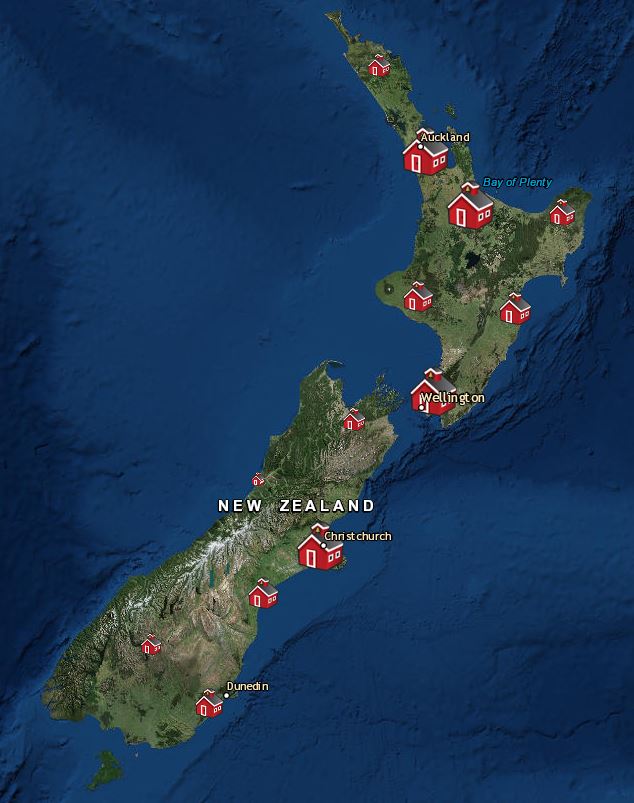
Currently just under 200 schools in New Zealand are utilising ArcGIS Online in some way, check out whether a school near you is at https://www.eagle.co.nz/gis-schools and volunteer to be there Geomentor 🙂