Tag: RUC

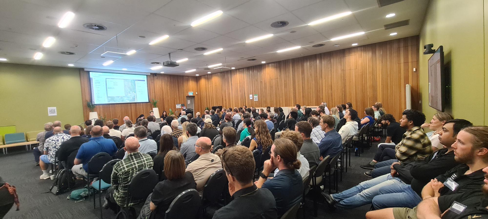
  • Esri Regional User Conference events across Aotearoa New Zealand (aka 8 locations, 650 people, 400 organisations, and 1000 sausage rolls*)

    Esri Regional User Conference events across Aotearoa New Zealand (aka 8 locations, 650 people, 400 organisations, and 1000 sausage rolls*)

    On behalf of the teams at Eagle Technology and the NZ Esri User Group, we wanted to thank all the presenters, attendees, sponsors and hosts for making the 2024 NZ Esri Regional User Conferences (RUCs) such a success.

    Over the past few weeks, we have heard some amazing GIS stories from across the country as well as seeing both new and familiar faces within our amazing and growing GIS community.

    Providing the ArcGIS technical updates on what’s new and coming is part of these events and below we have shared some supporting information including links to some online resources that were covered at the events.

    However, it is the stories of GIS being used in the real world that were our main takeaway: from Establishing Crime Hotspots to creating Digital Twins of Kiwifruit, Apples and “Lemons”; from Predator and Pest Control operations in some of NZ’s most remote areas to Emergency Mgmt. Common Operational Platforms (Local and National); and from Keeping our native birds protected from Avian Influenza to Machine Learning and GeoAI in action.

    Thank you again to the community and we look forward to seeing you all at the NZ Esri User Conference (NZEUC) on the 23rd to 25th September in Tākina Convention Centre in Wellington (if not before of course).

    As mentioned, here are some Links & Resources shared from 2024 NZ Esri RUC events: 

    Finally, for those of who were unable to attend the RUC events in person, watch out for a post soon sharing videos of the event which were recorded at the Wellington RUC and which cover the Technology Update as well as some of the GIS Community Stories.
  • 2017 Esri Regional User Conferences – it’s a Wrap!

    2017 Esri Regional User Conferences – it’s a Wrap!

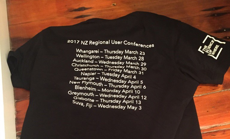
    The Eagle Technology team recently completed the Regional User Conference (RUC) tour covering 11 NZ locations, 1 Fiji location and over 700 delegates.

    We would like to take this opportunity to thank everyone who participated – presenters, organisers, networkers and delegates.  The feedback we’ve received is very positive and the events were a great success.

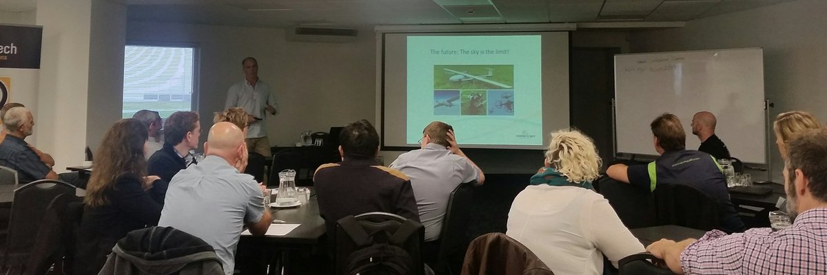
    Napier RUC Event

    Technical Resources
    A lot of technology information was shared at the RUCs, some of which may have been missed. Below is a list of resources you may find useful:

    A selection of videos based on RUC demonstrations including ArcGIS Pro, ArcGIS Online Collaboration, Insights for ArcGIS and others. 

    A Storymap illustrating how Sharing works using ArcGIS Online – a different, but equally interesting example to the one shown at the RUCs.

    A 3D Storymap outlining the benefits of 3D visualisation for Development when planning for growth, designing new developments or reviewing design plans in your community.

    Other Important Announcements

    NZ Basemaps – There is now an easier way to give us your feedback on the NZ Basemaps.  The Feedback App allows you to provide comments and suggestions so that the Eagle team can review and incorporate into upcoming releases.

    Living Atlas – Become part of the Living Atlas and to submit your data to the Esri World Stream Gauges layer.  This layer displays measurements recorded at Stream Gauges around the world and puts them into one convenient service, if you were interested in joining us in creating this across New Zealand please contact GIS Support

    Landsat Explorer Web App – Explore the planet more deeply with the Landsat Explorer web app. Use the app to both visualize our planet and understand how the Earth has changed over time. Now you can instantly analyse more than 500,000 Landsat 8 and GLS scenes, offering global coverage with over 500 new scenes added everyday. The web app is free, with no download or installation required.

    NZEUC 2017 – Call for Papers is open until May 26.  We saw many exciting and interesting presentations at the RUCs and we would like you to submit and share your work with the wider NZ community.  More information about how you can submit your abstract can be found here.

    Esri Training – This year, four RUC locations incorporated a day of Instructor led training pre or post RUC.  If you would like to know more about the training available for you or your organisation, email us or go to Eagle GIS Training.

    Feedback – If there is any other feedback you have about the RUCs please email the NZ Esri User Group or post a comment on the forum.

    We hope you find this additional information useful and we look forward to seeing you and sharing your work at the NZEUC in August.

    The Eagle Technology team