Category: General Updates

  • Access to ArcGIS Licences when working from home FAQs

    Access to ArcGIS Licences when working from home FAQs

    Moving to a home office can present some challenges. We understand that maintaining access to the ArcGIS suite of products is crucial. To assist with this transition, we’ve compiled some frequently asked questions that users have when setting up access to ArcGIS Desktop or ArcGIS Pro from home, with the aim to make this process as smooth for you as possible.

    Many of us have recently found ourselves working from home. This can pose issues when you require access to software that has been enabled to work on an office machine or company network. If you do not have a remote desktop connection or VPN to give you direct access to your office machine, then we’ve got you covered. Below you’ll find answers to frequently asked questions, issues and scenarios that you may face while working from home.

    How do I get access to the software installation package from home?

    Downloads for ArcGIS Desktop, ArcGIS Pro and any optional setups are accessed directly from My Esri. From there, you can see the list of downloads available to you by browsing to the My Organisations tab and clicking Downloads. Your account must have the proper privileges to access the Downloads page in My Esri. Don’t have access? Please contact licensing@eagle.co.nz to assist you.

    You now have the software installed, but it remains unlicensed – what now?

    If you normally log into ArcGIS Pro with a Named User license (an ArcGIS Online login), you will still have access at home and can simply log in with those same ArcGIS Online credentials. Named User licenses are unique to ArcGIS Pro.

    The process becomes different when you have a Single Use or Concurrent Use license for ArcGIS Desktop or if you have manually converted your Named User license, ArcGIS Pro. These two license types require an authorisation code. If you do not have an authorisation code to authorise the license on your home computer, please contact licensing@eagle.co.nz to assist you.

    I have a Single Use license; how can I authorise?

    Single Use licenses are designed for offline and remote use. If you have an authorisation code for a Single Use license beginning with ESU, the authorisation process is completed in the ArcGIS Administrator application. This application comes packaged with the ArcGIS Desktop installation. If you need assistance authorising your Single Use license, Esri Canada has created a great YouTube video that demonstrates how to authorise this license type. You can also follow the steps on the Esri help page.

    I normally connect to a company server to access my license, what do I do now?

    If you were connecting to a company server to access your license, this means you were using a Concurrent Use license which was authorised on a License Server on your company network. If you do not have access to this network from home (for example, with a remote desktop connection or VPN), then you will no longer be able to use this license. There are a couple of options in this case: you can take your license offline (requires temporary access to company network) or you can reach out to your GIS administrator to determine if there are any Single Use licenses available to authorize the software on your home machine. Alternatively contact licensing@eagle.co.nz to assist you.

    How can I take a license offline?

    If you still have access to the company network, you can borrow a license from the License Manager thereby taking it offline for a specified period. You can do this by accessing the ArcGIS Administrator. Please find the instructions from Esri’s help page here.

    I am using Citrix to access ArcGIS Desktop – will this work?

    If you use Citrix to access Esri technology, you shouldn’t have any issues as long as you are connected to your organisation’s VPN.

    I don’t have access to the software and it’s urgent!

    If the process of getting set up with your software at home is taking too long, the best intermediary option for continued access to ArcGIS software is to contact us at licensing@eagle.co.nz or calling our GIS Support hotline – 08007EAGLE the phone is manned 8.30am – 5pm Monday – Friday excluding public holidays.
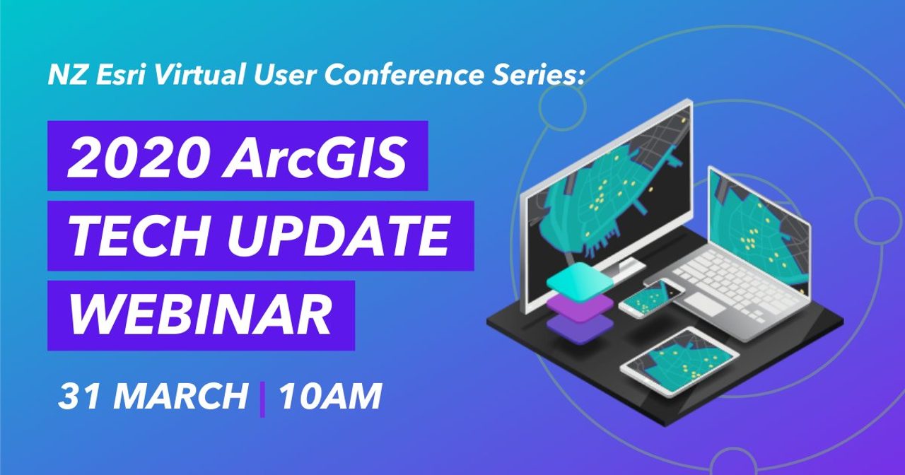

  • Join us for your your ArcGIS Technology Fix – Tuesday 31st March 10a.m.

    Join us for your your ArcGIS Technology Fix – Tuesday 31st March 10a.m.

    As you have likely already heard, the 2020 NZ Esri Regional User Conferences (RUCs) and the South Pacific GIS Event have been cancelled and have been replaced by a Virtual User Conference Series. The series starts on Tuesday at 10am NZT (31/3/20) with the Eagle GIS Team giving a full technology update…virtually.

    I know that our team are genuinely disappointed not to be able to catch up with many of you face to face and to learn about your own work from across the region – the RUCs are always a very intense but rewarding time for the team. However given the current situation and the applications that many of you are putting GIS to, we thought it was still very worthwhile to take the time to update you on the latest technology features within ArcGIS and the team have done their absolute best to put together an interesting and varied set of updates via the 2 hour virtual Tech Update.

    From my perspective, some of the most interesting areas are the next generations of core ArcGIS technology: taking existing, highly successful apps and capabilities and boosting these with new features or updates to underlying frameworks like the updated and new Field Apps, the new StoryMaps, the new Vector Tile basemaps, the new Experience Builder (a next-gen Web App Builder) and the Web Apps based upon the updated JavaScript API such as the new WebMap Viewer.

    These are updates or new versions of existing apps and capabilities which we know are widely used for your key workflows currently and for Tuesday’s Tech Update we will be taking you through these new offerings and the opportunities that they open for your own work.

    Alongside this we will be covering the updates to the wider platform including the most powerful desktop app, ArcGIS Pro. We’ll highlight what’s new in ArcGIS Online including new capabilities with Mapping & Visualisation, 3D, sharing workflows and the latest enhancements to engagement apps such as ArcGIS Hub and for those with the need for ArcGIS to be deployed in their own Infrastructure, we’ll also be delving into what’s new with ArcGIS Enterprise.

    We do hope to have you join us for the Tech Update Session. Its open to all, free and easy to register, all you need to bring is your own time (2 hours) and your own ideas (unlimited).

    Register online here.

    Scott and the Eagle GIS Team.

  • Looking through a new lens

    Looking through a new lens

    by BILL BENNETT

    Auckland is on the cusp of an Internet of Things revolution. Sensors are being planted all over to measure and record the city’s heartbeat with 5G mobile technology that will ramp up. Within years there will be millions of devices collecting a constant stream of data. They will measure everything from traffic flow to air quality to noise levels. Data will arrive so fast that conventional tools are not up to interpreting, analysing and putting it into context. Councils and other organisations use geographic information systems (GIS) to make sense of large amounts of data. 
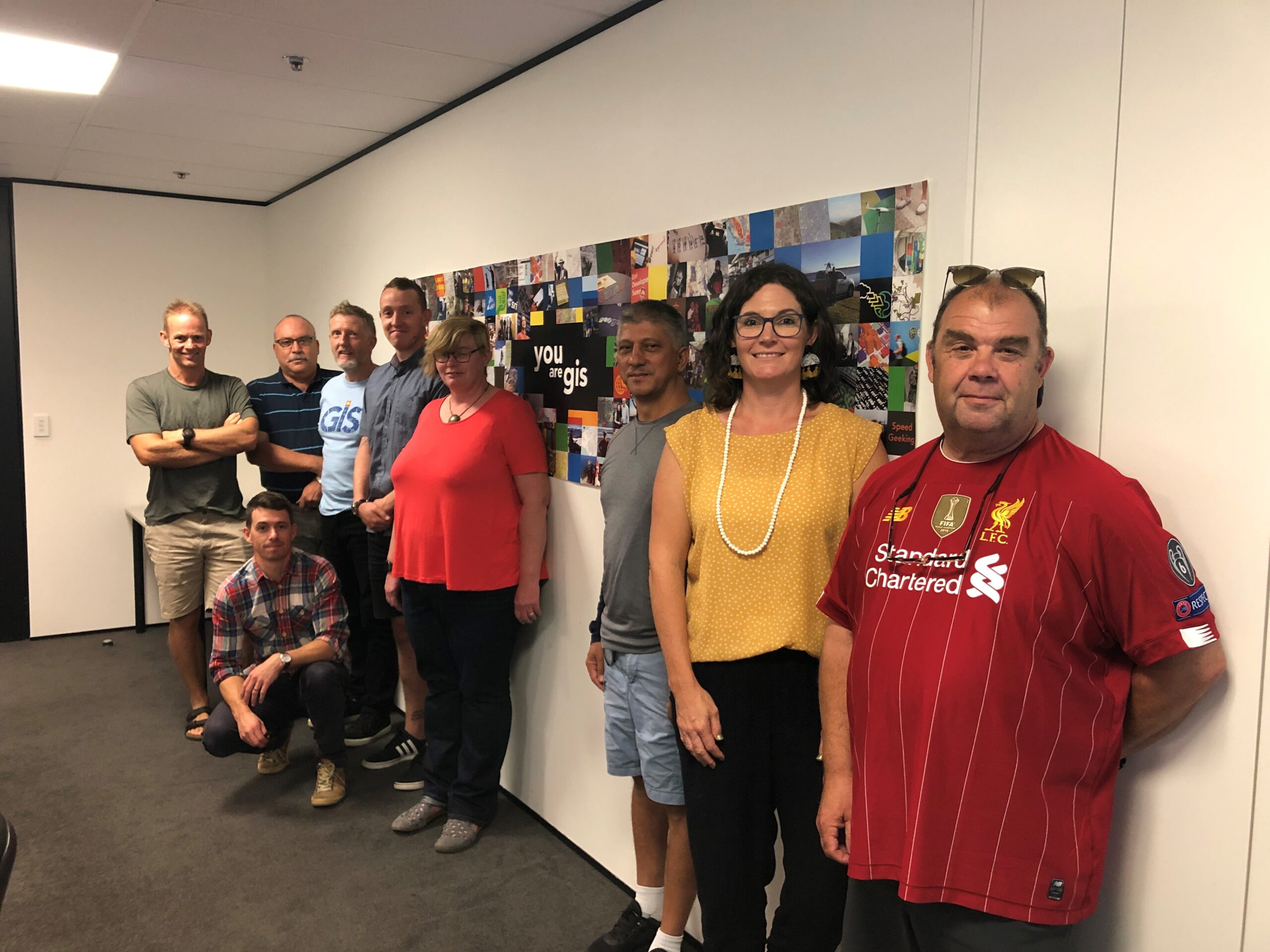
    Eagle Technology’s Greg Price has worked with organisations in the Auckland region to build systems that collect and organise this data in ways that make sense. The key is to tie location-based data to a series of digital maps using Esri technology. 

    “Organisations use a number of different IT systems to manage and analyse data. “Most people are familiar with the idea of financial information systems. That is one lens to look at operations and assets. It will give you one view. Another way to look at data and information is to use a location lens to manage operations and assets. You can also use it to plan and to optimise. 

    “Location is important because things are often the way they are because of where they are. They also have a relation to the things that are around them. This is what GIS brings to any organisation. 

    “Governments, particularly local government is very much about managing places or locations. With most councils, and this would include Auckland Council, 80 percent of what they do is based on location.” 

    For councils and similar organisations GIS is the decision-making tool that pulls the various data strands together. They don’t have to be the same data strands. One of the beauties of a GIS is that it can produce map layers on top of one another. You could overlay a map of say, the city’s road network with air quality information or noise control data. This will identify places where traffic is doing more harm than holding people up as they travel. Planners can use this to improve people’s quality of life.

    “Decision support is one of the main patterns of use with GIS. There are others, among them are: mapping and visualisation; data management; field mobility, that is managing a mobile workforce; along with monitoring assets and resources in real-time or near real-time. 

    “Another important use is analytics. You can use GIS to discover trends and patterns. “If, say, you have a map of where people get hurt on a Friday night in the CBD, you can park an ambulance nearby so they can be treated faster. You might also use this data to change policing patterns.” 

    GIS is also widely used for designing and planning. Price says Singapore uses Esri to optimise its land use. The nation is 720 square kilometres so land is at a premium. The city’s planners have built a digital twin of the city so it can visualise infrastructure and development projects. The model is three dimensional so it can account for the spaces above and below ground level. 

    He says: “One of the more recent applications of the system is for constituent engagement. This is not about pushing maps out to people, that’s been going on for a long time. “Now the system is being used so that people can push information back to the council. It also allows other groups to use council map data. “This might include developers as in Singapore, but it can also include conservation groups interested in protecting a particular area. Another way this can be used is for members of the public to identify where new graffiti has appeared so thatacrew can be sent to clear up.” 

    Price says location-based data gives powerful insights into matters that might otherwise remain invisible to city planners and managers. “A water utility might use GIS to look at where leaks are happening in its pipes. “When the data is shown on a map, it often turns out a pattern emerges. The engineers can then ask what is common about the areas where there are leaks. Those patterns are often more obvious than looking at a table or a chart.” 

    In the past, much of the data used in GIS maps was collected either manually or automated data may have been stored locally and batch-uploaded to central computers. The growth of the Internet of Things and better connectivity means that most data is now collected in real-time. Price says this changes everything. “The pattern analysis can now take place in real time, or near real time. That means you’re not only looking at historic data but can see what is going on now. If necessary you can act immediately. 

    “This also means you have a better idea about what might happen in the near future. In some cases this means you can get your resources in place before things get critical,” he says. 

    In some cases this can be as simple as a small adjustment to a timetable so that passengers arrive at, say, a ferry terminal a few minutes before the boat leaves. 

    Price says a more complex example might be that the roading department knows it will need to lay fresh asphalt in the next few years while the water company knows the water pipes in the same street need replacing and Chorus needs to work on the fibre. GIS lets planners pull these threads together so the work is done in a cost-efficient way that also minimises disruption.

    He says GIS has the ability to share data and coordinate organisations where the links may not be that strong. Joining these systems up can be powerful, especially when coupled with sensors. It’s possible now for a sensor to register there is flood water on a road. Systems can relay this information to traffic management controls. By automatically manipulating traffic flows, the system can route cars around the obstruction without human intervention. 

  • GIS Champions Upskill

    GIS Champions Upskill

    Inspiring our future geospatial professionals – GIS Champions as part of the Geography Network of Expertise (by teachers for teachers)

    On Friday 6 March, 12 teachers from around New Zealand descended on Wellington to upskill in geospatial for two days so they could return to their regions to champion GIS in their own schools and other schools in their region.

    We had representatives from:

    • Auckland
    • Waikato
    • Bay of Plenty
    • Taranaki
    • Wellington
    • West Coast / Nelson / Marlborough
    • Otago / Southland

    The upskilling ranged from:

    • ArcGIS Online account administration to
    • moderation of the GIS standards in geography to
    • hearing from Land Information New Zealand (LINZ) and the Department of Conservation (DOC) about what they do and how the data they provide or projects they have worked on could be used in the classroom to
    • sharing what they have already taught with GIS in the classroom to
    • planning professional development sessions for other teachers in the regions

    It was an amazing two days and as always I was awed by the passion these teachers have for teaching and inspiring their students. It is through the hard work of teachers like our GIS Champions and other geography teachers around New Zealand that we will see more and more students heading to university to pursue study for a career in the geospatial industry.

    If you would like to know more about what the GIS Champions do – keep an eye on the New Zealand Board of Geography Teachers newsletter as some of their work will be highlighted there throughout the 2020 year.

    You will see that there are some notable gaps in our regional GIS Champions. They are the Far North, Hawkes Bay and Canterbury. Please let gisinschools@eagle.co.nz know if you know of Geography teachers in these regions who might be interested in taking up the GIS Champions role.

  • NZ Vector Basemap February Update: 3 New Styles Released!

    NZ Vector Basemap February Update: 3 New Styles Released!

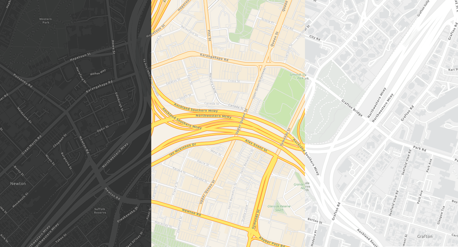
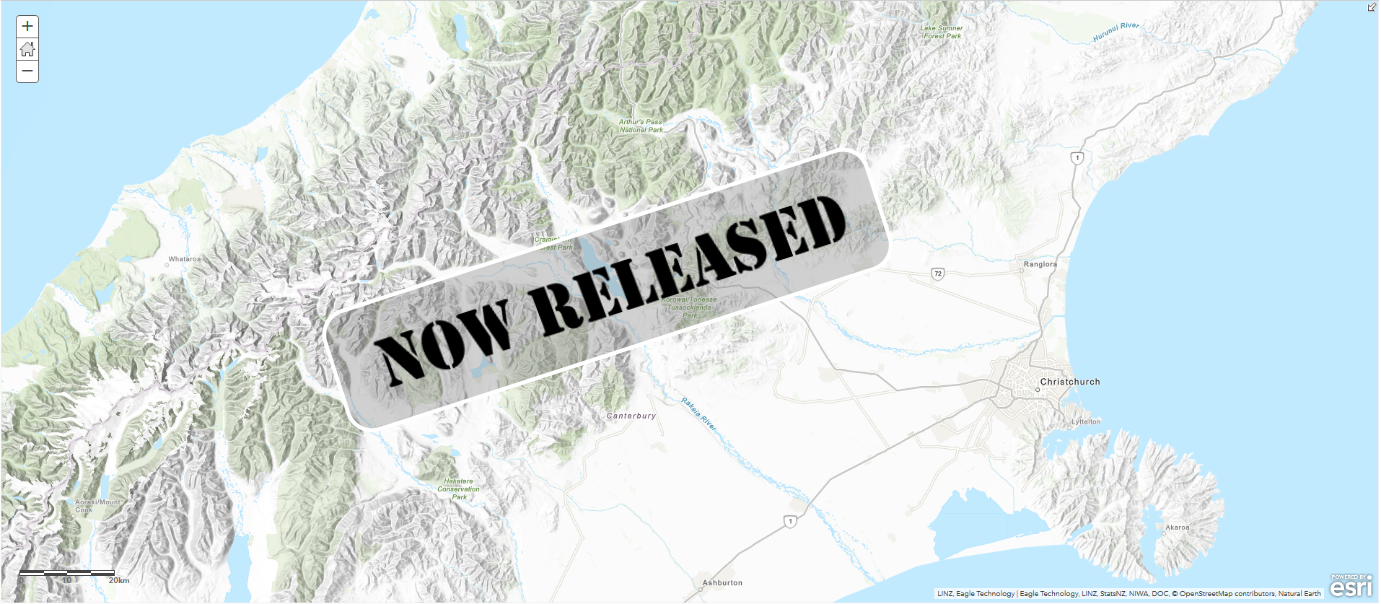
    At the end of 2019, we released our first New Zealand vector basemap, our NZ Topographic Map and today we are pleased to announce the release of 3 new styles…

    These new styles are as follows:

    These styles are all based on Esri’s World Basemap styles and allow you to customise the style of the basemap to your heart’s content using Esri’s Vector Tile Style Editor.

    What sets these NZ basemaps apart from Esri’s world basemaps is that:

    • They are delivered in New Zealand’s Transverse Mercator (NZTM) Projection, and
    • They bring together the most up to date freely available datasets in New Zealand

    If you’d like to get hands on immediately with the new styles, check out our latest StoryMap update. Or, if you missed our first release at the end of last year and you’d like to find out more information on the benefits of vector basemaps, please visit our original StoryMap.

    Start using the new basemaps today!

    By default, your organization uses a basemap gallery set by Esri. You can configure your basemap gallery if you have administrator privileges in your organization. For example, you can combine Esri’s Web Mercator basemaps with Eagle’s NZTM basemaps, or you can create a completely custom basemap gallery including basemaps authored by you. This could include your own stylised version of the vector tiles. To find out more on how to add custom basemaps to your organisations basemap group, click here.

    If you’d like to add the new vector basemaps to your ArcGIS Online or Portal organisation, or to keep up to date with the latest styles to be released, please join the Eagle Technology NZ Vector Basemap group and save them to your organisation.

    And of course, you can find the new basemaps by searching the Living Atlas within the ArcGIS Online map viewer or within ArcGIS Pro.

    What’s coming…

    5 styles down, many more to come!

    • Tiling Scheme changes for our existing raster basemaps so you can overlay NZ Imagery with our new vector basemaps.
    • More NZ styles: Canvas Reference, Canvas BaseImagery HybridCommunity and more.
    • Regular, automated data updates from LINZ, OpenStreetMap and more.
    • More ready to use content made available in the Living Atlas.

    Feedback

    The existing Eagle basemaps are incredibly popular and we think our new vector basemaps will be even more so! We encourage you to start using them by adding them to your basemap gallery and we are excited to see how you style your own basemaps. So get creative, build your own styles, and we’d love it if you were to share them with us.

    We really value your feedback, so if you have any comments, queries or suggestions on the vector basemaps, please let us know at livingatlas@eagle.co.nz.

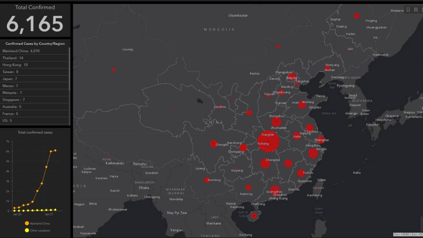
  • Esri ArcGIS used to track Coronavirus

    Esri ArcGIS used to track Coronavirus

    Coronavirus outbreak: Map tracks Wuhan coronavirus spread https://t.co/RNRm4wjPE2 pic.twitter.com/6SPFdueHMK

    — Stuff (@NZStuff) January 30, 2020

  • GALoP-X 2020 Summer Open for Students

    GALoP-X 2020 Summer Open for Students

    New Zealand’s Geospatial Accelerated Learning Programme Express is Open.

    Eagle Technology taking applications for the GALoP-X 2020 Summer.

    Starting on the 17 Feburary 2019, this is the 5th intake for the Geospatial Accelerated Learning Programme (GALoP) programme with the express 6 week version designed to condense the key leanings and skills needed to either kick start or re-invigorate a GIS career. Alongside the hands-on technical skills, the course provides overviews of key areas such as solution architecture, project management, business cases as well as a greater understanding of the various ways in which geospatial can be applied to problems in the real world.

    GALoP-X is taking applications from both organisations and individuals:

    • employers looking to fast-track their staff into highly productive roles,

    • individuals making the transition from education to a GIS career; or 

    • experienced individuals making a change from another area to a GIS-focused career.

    Some of the key benefits include:

    • Gaining hands-on technical skills to increase productivity and innovation 

    • Building experience with the latest Esri and Esri-related technology

    • Fast-tracking geospatial capability

    • Developing skill sets to undertake a greater variety of work

    • Gaining insights into best practice and how to successfully deliver geospatial projects in-house

    • Equipping attendees with skills to help manage work more effectively and efficiently

    • Gaining a competitive edge with training on the latest technology

    • Investing in either your own or your team’s career development

    • Assisting in the promotion of either your organisation or yourself as an employer / employee to be sought out 

    • Growing your or your organisation’s geospatial network

    For more information on the programme – see the detailed programme.

    The GALOP-X 2020 Summer programme commences on 17 February 2020 for 6 weeks at the Eagle offices in central Wellington.

    To start GALoPing contact us on galop@eagle.co.nz

  • The Next Generation of NZ Basemaps are Here: Vector Basemaps in NZTM!

    The Next Generation of NZ Basemaps are Here: Vector Basemaps in NZTM!

    Following two beta versions earlier this year, we are now very excited to announce that the full version of the new NZ Topographic Basemap is now released.

    This is the first of our next generation of Basemaps: Vector Basemapswhich are cached and delivered as vector tiles and are rendered client-side based on a style file that is delivered with the vector tiles. Like all of our existing NZ Basemaps which it complements, the new Basemap is delivered in the NZTM projection and will align with your NZ data.

    You can find the new Basemap layer and the associated WebMaps along with versions which include hill-shading in this group (we recommend joining this group as we will be adding all of the new vector styles to this group also) as well as this nice StoryMap.

    The NZ Topographic Map’s style is based on the World Topographic map from Esri and is a great way to enhance your existing and new maps. Early in the new year, we will also be releasing more styles as vector Basemaps like the Canvas maps, Navigation map and a hybrid style that can be overlaid with the NZ Imagery Basemap.

    New to Vector Basemaps? Check out some background information below…

    Why use Vector Basemaps?

    Vector Basemaps have some significant benefits over raster Basemaps:

    Crisp – Because vectors are delivered to the client, the Basemaps always look crisp, also on high resolution devices and down to the lowest zoom level.

    Labels – More and more apps allow for map rotation. With vector Basemaps, your labels will rotate with the map, making them easy to read regardless of the bearing of your map.

    Size – Vector Basemaps are a fraction of the file size of raster Basemaps. This makes it easier to take the maps offline. Taking the whole of New Zealand offline is now easily possible. To support this, we will start sharing the vector tile packages that can be used to be side loaded onto your mobile device or to be used in Mobile Map Packages where you can combine the Basemap with your own data and take everything offline.

    Style – A great benefit of vector tiles is that they give you the ability to style the Basemap to meet your cartographic needs. This can include turning layers off that you do not require, changing the symbology of features, change the font and appearance of labels or changing the visibility range of select layers. Once you are satisfied with your changes, you can save the edited style to use as a Basemap in your maps and apps.

    NB To make it easier to change the style of a vector Basemap, Esri has released the Vector Style Editor that gives you a nice user interface to change the style of any vector Basemap. You can access the Vector Style Editor from the ArcGIS Online Map Viewer or you can start it from here. See this blog post on the Vector Style Editor for more information.

    How to use Vector Basemaps in your Organization?

    By default, your organization uses a Basemap gallery set by Esri. You can configure your Basemap gallery if you have administrator privileges in your organization. For example, you can combine raster and vector Basemaps, Web Mercator and NZTM Basemaps or you can create a completely custom Basemap gallery with custom Basemaps (e.g. authored by you), Eagle Basemaps and Esri’s Basemaps. A good blog about how to configure the Basemap gallery for your organization can be found here.

    The existing Eagle Basemaps are incredibly popular and we think our new Vector Basemaps will be even more popular so go make some awesome WebMaps and as always we really value your feedback at livingatlas@eagle.co.nz.

    References

  • WE’RE ADDING MORE ZOOM LEVELS TO THE NEW ZEALAND BASEMAPS (AND MAKING SOME CHANGES)

    WE’RE ADDING MORE ZOOM LEVELS TO THE NEW ZEALAND BASEMAPS (AND MAKING SOME CHANGES)

    Please Note that this change has been postponed until later this year, please watch this space for more updates. The New Basemap Schema described below is availabe in the meantime on the following URL for testing purposes:

    https://services1.arcgisonline.co.nz/arcgis/rest/services/


    Beneath every engaging WebMap, lies an unsung hero: a Basemap providing a background of geographic context for all of the content in your maps…

    Eagle Technology offers a range of Basemaps in the New Zealand Transverse Mercator (NZTM) Projection that you can choose from when you create a new map. These Basemaps are used by hundreds of organisations across NZ, with the most popular of the bunch being the New Zealand Imagery Basemap, one which is updated regularly with the latest publicly-owned aerial imagery. Over the years, we have seen the usage of our Basemaps grow, and in those years, the requirements of our users have changed. That is why we’ll be making some changes to our existing Basemaps.

    As part of its definition, every Basemap has rules to say how far you can zoom in and out in most of the apps and over the years we have received requests to allow for more zoom levels to support different use cases.  A couple of years ago we have added more zoom levels to our imagery Basemap, which now zooms in to 1:282. 

    At 4pm this Wednesday 18/12/19 we will be expanding the zoom levels even further for all our Basemaps. We will add levels to the smaller scales (to allow you zoom further out beyond NZ coastlines) and more importantly add new zoom levels to the larger scales (for zooming right in). The smallest scale will be 1: 591,657,527 and the largest scale will be 1:70. For the new larger scale zoom levels we will be using a technique called resampling, that means you’re basically zooming into the image of a smaller scale. This means that for those levels, the map will not look as crisp, but it does allow you to zoom in when you need to (such as to look at detailed feature layers which lie on top of the Basemap).

    For almost all the maps and apps this will be a smooth transition. After you reopen ArcGIS Pro or ArcMap or refresh the web page, you’ll be able to make use of the new zoom levels. There are a few to things to be aware of:

    • In ArcMap you may need to refresh your local display cache if you don’t see the Basemap showing up. Here you can read how to do that.
    • If you have your own cached maps, that uses the same zoom levels as one of our Basemaps and you have overlaid that map with one of our Basemaps current zoom levels they will still work in almost all the apps except for 3D web scenes. If you want to overlay you own maps with our Basemaps in the 3D scene viewer please re-cache your maps using the new tiling scheme, that can be found here
    • If you have a web application which explicitly requests a specific tile level e.g. tile level 0 then this may now result in a you initially viewing a different extent (i.e. zoomed out much further). This can be addressed by changing the requested zoom level to be 5 levels higher than previously e.g. zoom level 1 becomes zoom level 6. NB for a finite period of 3 months, we will have the old basemaps available on a different URL. Please contact gissupport@eagle.co.nz for more information.

    Please note that separate to the zoom level changes, we have found that some users still use a very old URL to access our Basemaps. In order to ensure a high quality ongoing delivery of our Basemap services, and to aid with the transition, we will be turning that URL off. If you still use that URL, please switch to the official URL as per below:

    As stated, we don’t expect any down time apart of these changes, but some minor disruptions may occur. If you have any questions about the upcoming change, please get in touch with us on livingatlas@eagle.co.nz.

    References

  • Eagle Flyer

    Eagle Flyer

    The latest Eagle Flyer, October 2019 is available to view here