Author: eagle_managewp

  • LocalMaps Gallery 3.x (Beta)

    LocalMaps Gallery 3.x (Beta)

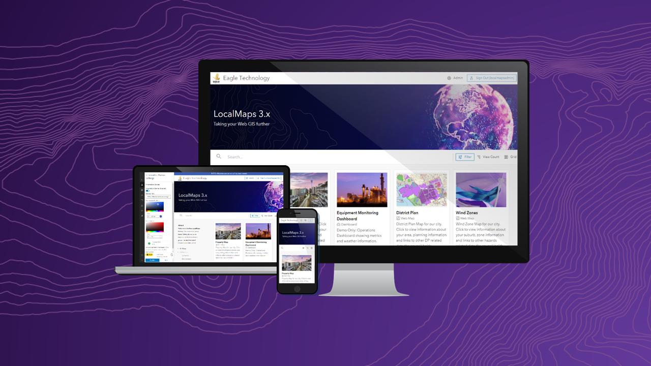
    LocalMaps 3.x is the next generation capability that will take your Web GIS even further. Today we are pleased to release the first component for 3.x for users to get stuck into. A new and revitalised Gallery frontend. The LocalMaps Gallery acts as a shop window into many organisations spatial content around New Zealand. As much as it is used, it is one part of LocalMaps that has not been altered too much since its inception – so naturally, it has been well overdue for some revitalisation.

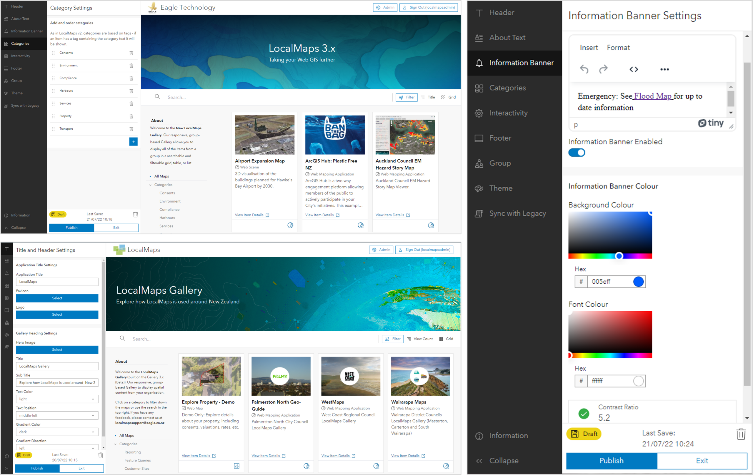
    We have listened to a variety of user feedback to build the Gallery – what works, what doesn’t work and how people use the app right now. From this, we have built a more modern gallery using Esri’s Calcite Design System that allows for flexible configuration, greater style options and the ability to live preview in the same tab before saving your changes to the live site. This Gallery is in beta for its first release – so a great chance to run it alongside your existing 2.3.2 Gallery.

    Check out this Gallery 3.x (Beta) StoryMap to see the key features, install details and an invite for feedback.

    Thank you to all our Early Adopters for your ideas, feedback and input into the development process. We will be looking for more Early Adopters for the Viewer 3.x coming out later this year (check out the above StoryMap for info) so let us know if you are keen to get involved. For details on how to get the Gallery set up, touch base with your Eagle Technology Account Manager.

  • New Zealand Esri Young Scholar Award 2022 – Winner

    New Zealand Esri Young Scholar Award 2022 – Winner

    The Esri Young Scholar Award is about recognising the very best GIS students around the globe. Every year, Esri’s global partners nominate at least 25 university students for excellence in relation to a GIS project. These projects include comprehensive research papers, software development, impactful maps, and apps that promote education, conservation, disaster response, and urban planning.

    It is with great pleasure that Eagle Technology announces Reuben Painter of the University Of Canterbury, New Zealand as the Winner of the New Zealand Esri Young Scholar Award 2022.

    To recognise this achievement, Reuben will be attending the Esri Education Summit and Esri User Conference in San Diego in July 2022. We look forward to hearing Reuben’s reflections on the summit and conference on his return.

    Reuben worked in collaboration with Josiah Millar (fellow graduate of the University of Canterbury) and Senior Sergeant Mike Jones of the New Zealand Police on a project entitled “Integrating GIS and Evidence Based Road Policing” focusing on road safety. Reuben utilised Web GIS to tackle this road safety issue, using ArcGIS Pro spatial and temporal tools, Reuben analysed crash data. ArcGIS Insights was then used to create interactive dashboards that enabled intel officers to easily identify crash hotspots. ArcGIS Scene Viewer was utilised to inform users of the context of the crash data and both ArcGIS Experience Builder and ArcGIS Hub were overlaid on the results to give users a variety of user interface’s to access information. This use of Web GIS enabled Reuben to create a fully functional workflow from ground data to high level reporting and event planning.

    The judges were impressed by the breath of ArcGIS technology used in this project and particularly appreciated that Reuben had worked collaboratively with another graduate and an industry partner, the New Zealand Police, on this project.

    The judges would like to highly commend Omid Khazaeian for his award submission on “How do parking at home or at work impact commute mode and car ownership?”. Omid is runner up in the New Zealand Esri Young Scholar Award 2022.

    Thank you to all the other young scholars who applied for the New Zealand Esri Young Scholar Award in 2022. Your submissions were of the highest standard and made the judge’s job in choosing the best project very difficult.

  • Understanding Esri Technical Certification

    Understanding Esri Technical Certification

    New to Esri Technical Certification exams? Read this blog to help you through the process of sitting an exam.

    New to Esri Technical Certification exams? Read this blog to help you through the process of sitting an exam.

    Step 1 – Decide on the exam you want to take.

    Esri Technical Certification exams are outlined on the following page

    https://www.esri.com/training/certification-find-exam/

    You will notice that the certifications are split into two types, Core Exams and Specialty Exams. At the moment you cannot sit a specialty exam without holding a core Esri technical certification. So drill down into the details of the core exams first.

    In the core exams you want to have a look for exams that either have 21 or 22 at the start of their code for example, ArcGIS Pro Foundation 2101. These exams are the most recent ones released by Esri. There are a lot of core exams, most of them are at a professional level which means they are designed for someone who has been using ArcGIS technology for some time.

    If you are specifically interested in the ArcGIS Pro exams you will notice that there are several levels of exams.

    • ArcGIS Pro Foundation – this exam is designed for recent graduates who have only a little bit of experience with ArcGIS Pro
    • ArcGIS Pro Associate – this exam is designed for people have two or more years of applied experience with ArcGIS Pro
    • ArcGIS Pro Professional – this exam is designed for people who have at least four years of applied experience with ArcGIS Pro

    If you want to sit one of the speciality developer exams and have no experience with ArcGIS Pro you probably want to sit the ArcGIS Developer Foundation core exam

    Step 2 – Book your exam

    Once you have decided on which exam you would like to sit, it’s always useful to have a date to aim for being prepared by, so go ahead and book your exam. The booking of your exam is done through the Pearson view website https://home.pearsonvue.com/esri. If it is your first time booking an exam you will need to create an account for this website – it is not connected to your Esri username!

    You have two options for sitting an exam. At a testing centre (if there is one available at you location) or online (via a proctor service). If you book in for a testing centre you may find that you have to wait months to get an exam slot. Another good reason for booking your exam up front. If you book an online exam be prepared to clear everything other than your computer away from the desk that you will be sitting at to take the exam.

    Make sure that you register for your exam using exactly the same name that appears on the ID you will be using to check in for your exam. Pearson Vue is very strict about this and will not let you sit your exam unless your name matches exactly.

    You will have to pay for your exam as you book it, so make sure you know how the exam is being paid for. Some organisations will ask you to pay for your exam and then submit an expense claim for the cost. Other organisations might have voucher codes that they can give you to book your exam. Other organisations might not be willing to cover the cost of a technical certification so you will have to pay for the exam yourself.

    Editor September 2023 – Since writing this blog Esri have updated the way you pay and book an exam please visit https://community.esri.com/t5/esri-technical-certification-program-information/esri-exam-voucher-purchase-and-registration/ba-p/1242016 to find out more about the new process.

    Step 3 – Prepare to sit your exam

    Now that you have your exam time, what can you do to prepare to sit your exam? There are two key ways that you can prepare for your exam

    • Read through the exam information that is available in PDF format to make sure you know about all the skills and have all the qualifications to sit the exam. The exam information PDF can be accessed via a button from the exam description page see image below of the ArcGIS Pro Foundation description page

    • Work through the resources in the learning plan that Esri provides for a certification exam, for example, below is the link to the ArcGIS Pro Foundation Certification Learning Plan https://www.esri.com/training/catalog/61bbd43777f5d5238027af3e/esri-arcgis-pro-foundation-certification-2101.

    Obviously Esri doesn’t guarantee that you will pass the exam if you finish the resources in the Learning Plan but they will certainly give you a good foundation of learning to help you answer the exam questions.

    Step 4 – Sit your exam

    Head to your testing location, be that a physical testing centre or the work office at home. Be early for the exam. Don’t forget your ID!

    When sitting your exam:

    • Have an idea of how long you have to answer each question
    • Read the question carefully
    • Make sure that you answer all the questions – if you miss a question it is an automatic fail. Don’t panic though, you do get a summary page before you submit your exam that shows you any questions that you might not have completed.
    • If you are unsure of an answer to a question, you can mark it for review. You will also get a summary of these questions to go back and review at the end of the exam (if you have time).

    Step 5 – Celebrate your success

    You should receive the results of your exam within two business days of sitting the exam, except if you are sitting a Beta exam and then you have to wait up to 10 weeks to get your results! If you are successful in passing your exam, well done! Celebrate your success, share it with colleagues and friends.

    You might also want to do the following:

    If you are struggling with any step in this process please contact gistraining@eagle.co.nz for assistance.
  • Updates to the New Zealand Imagery and Elevation layers (May 2022)

    Updates to the New Zealand Imagery and Elevation layers (May 2022)

    Since the start of the year the New Zealand Imagery, the New Zealand Elevation and the New Zealand Hillshade layers have received new data updates. This blog post gives an overview of the recently added datasets.

    New Zealand Imagery basemap

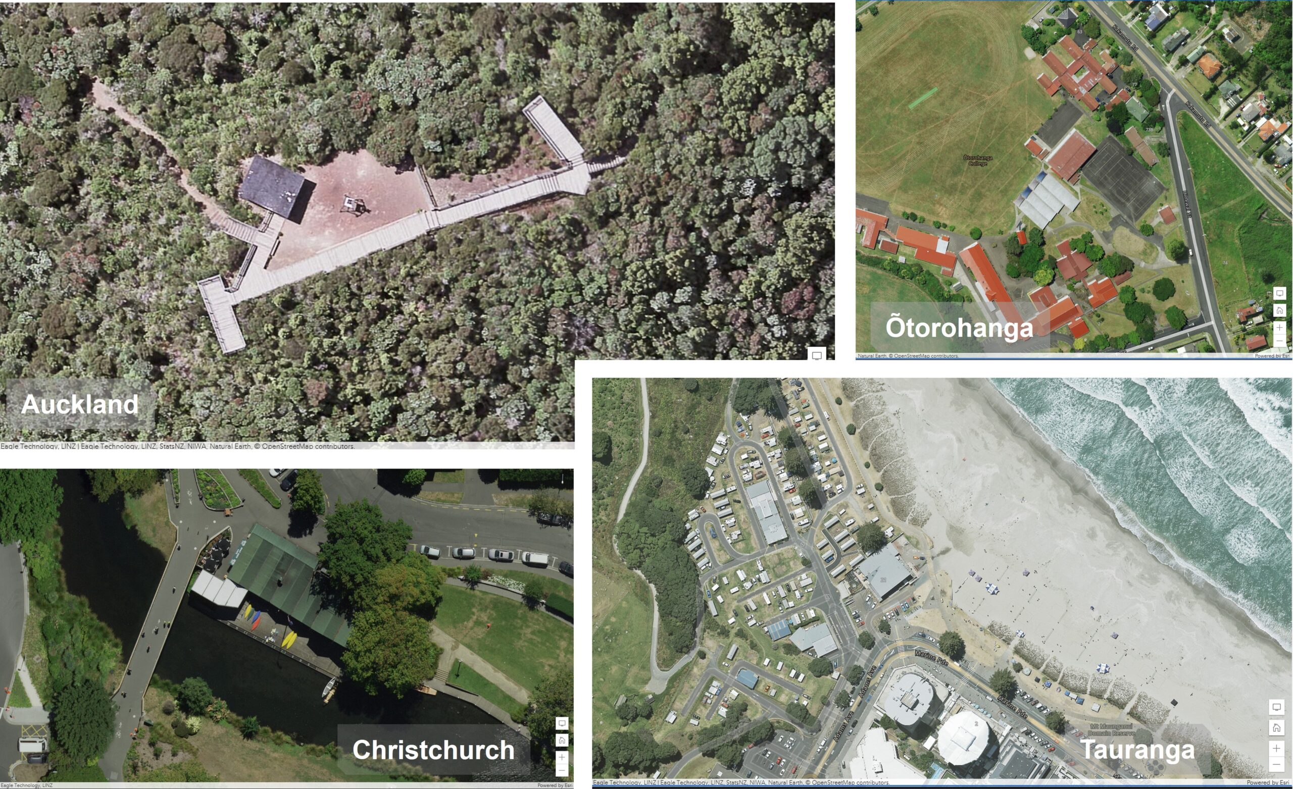
    The NZ Imagery basemap is made up of the best available public Imagery data and contains high resolution imagery for most parts of New Zealand. The following datasets have been added this year:

    • Christchurch Urban 2021 5 cm resolution
    • Tauranga Urban 2022 10 cm resolution
    • Ōtorohanga Urban 2021 10 cm resolution
    • Auckland Rural 2022 7.5 cm resolution

    Imagery screenshots

    You can find the NZ Imagery basemap in ArcGIS Living Atlas. Last year we have also released a vector basemap reference layer in NZTM that is designed to be overlaid on the NZ Imagery basemap. We also have a NZ Imagery Metadata layer available to shows what datasets are in the Imagery basemap. Currently it shows all the datasets that are used to build the basemap, because there is a lot of overlap on the imagery, we are working on an updated version of this layer to show what datasets are shown in the basemap.

    New Zealand Elevation layers

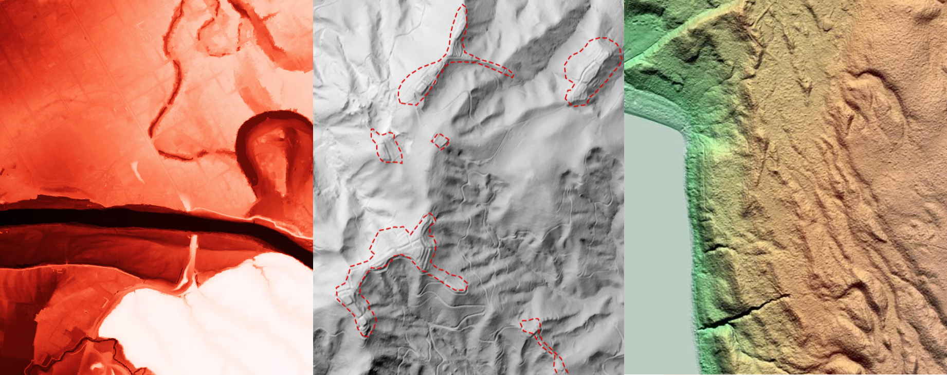
    Lots of LiDAR is being captured currently in New Zealand and a couple elevation datasets have been released this year already. These datasets are being added to both the NZ Elevation layer and the NZ Hillshade layer.

    The NZ Elevation layer is designed to be used in 3D maps and apps as a base layer to visualize the terrain. The NZ Hillshade layer is designed to be used with the NZ Topographic Relief basemap to give more context about the terrain.

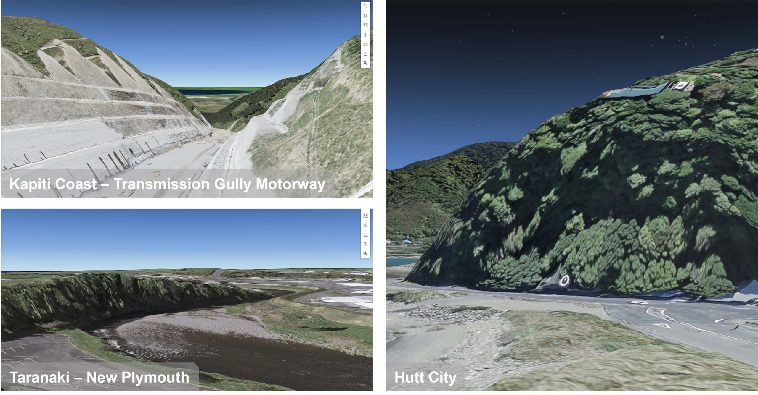
    The datasets that have been added this year so far are:

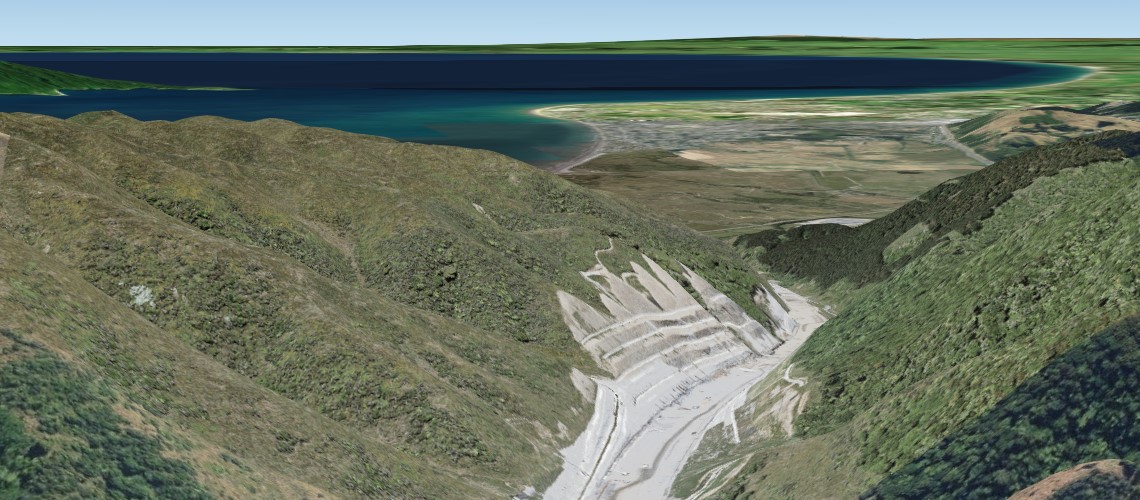
    • Kapiti Coast 2021
    • Hutt City 2021
    • Taranaki 2021

    elevation layer screenshots

    A full overview, of the more than 50 datasets that are in the NZ Elevation layer and the NZ Hillshade layer, can be viewed by using the NZ Elevation Metadata layer.

    New Zealand elevation data in Esri’s World layers

    The Terrain Dynamic Image service from Esri also includes the New Zealand elevation data. All the datasets will find its way to this layer as well as to Esri’s other derived layers like the Terrain 3D (Esri Elevation layer) and the various Hillshades all in Web Mercator. It can take a few months before the datasets make into Esri’s layer, due to their release cycle. A good read on the latest update on Esri’s elevation layers can be found here.

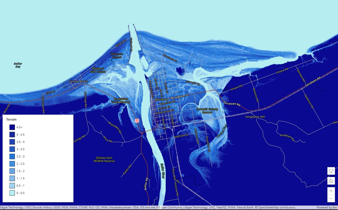
    Esri terrain layer visualized in classes

    For any questions on these layers or other Living Atlas content, please reach out to us at livingatlas@eagle.co.nz.

  • 2022 NZ Regional User Conference Series

    2022 NZ Regional User Conference Series

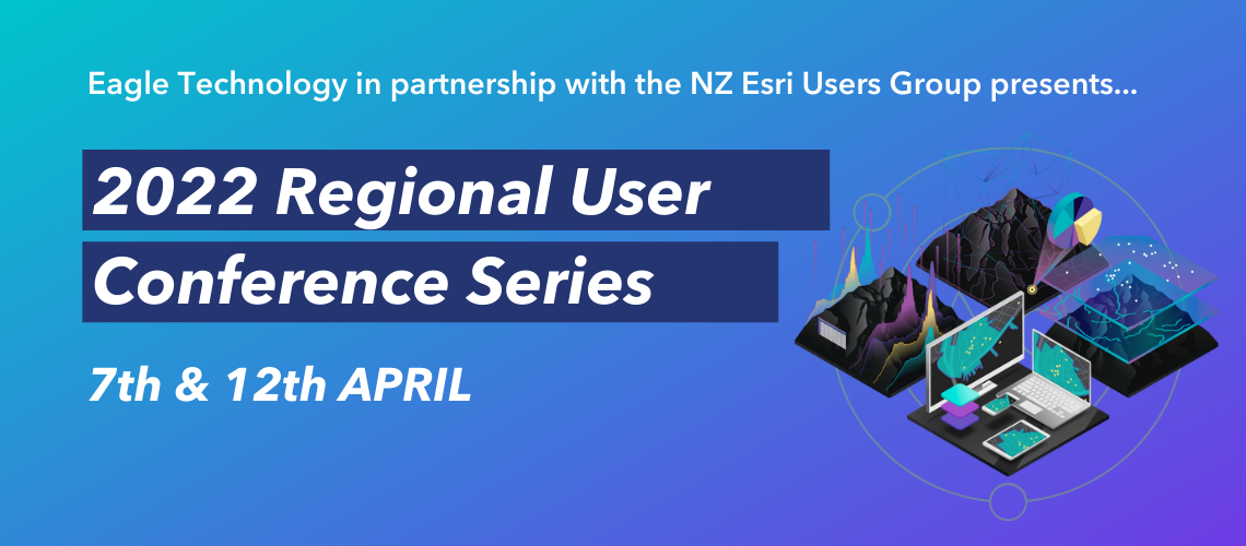
    The New Zealand Esri Users Group and Eagle Technology will be delivering the 2022 Regional User Conference (RUC)s over two 4-hour sessions in April. Due to the restrictions surrounding Covid-19, these will again be delivered Online. The RUCs are a highlight on the User Group calendar, and an opportunity for all GIS professionals to connect at grassroots level across the country, whatever your level of expertise. Be a part of this vibrant community and register using the links below.

    More information on the NZ Esri Users Group website

    REGISTER NOW:

    Thursday 7th April

    Tuesday 12th April

    DRAFT AGENDA

    10:00am – 10:15am – Welcome 
    10:15am – 11:15am – Your stories
    11:15am – 12-00pm – Tech Update 1 
    12:00pm – 1:00pm – LUNCH BREAK
    1:00pm – 1:45pm – Tech Update 2
    1:45pm – 2:00pm – Q & A session 
    2:00pm – 2:10pm – Panel
    2:10pm – 2:15pm – Closing Remarks

  • Utilising your ArcGIS Education Institution Licence

    Utilising your ArcGIS Education Institution Licence

    If “The application of GIS is limited only by the imagination of those who use it”. Jack Dangermond, Esri then our tertiary education institutions are the prime location to do explore and imagine with GIS.

    The majority of New Zealand’s tertiary institutions have access to the full Esri ArcGIS System via and Education Institution Licence.

    However, just because you have access doesn’t mean that it is easy to administer or use! Therefore, this blog post shares some recommended workflows that are applicable to the academic setting.

    How about:

    • Enabling enterprise logins more commonly referred to as Single Sign On (SSO) to auto-provision new users with a Role, Credits, Esri Access and licence entitlements (including ArcGIS Pro!)
    • Considering ArcGIS to be an enterprise-level system similar to email, LMS, and file servers
    • Enabling Esri Access for any incoming ArcGIS user so they can help themselves to Esri Academy Training, Learn ArcGIS and Esri GeoNet
    • Disabling offline licensing for ArcGIS Pro via Named User licensing, provide single-use licenses for potential offline use cases
    • Establishing a strategy of managing data (layers, web maps and webapps) when a student or staff members leaves the university.

    If you would like any assistance utilising or implementing the above workflows please contact Claire Thurlow, Eagle Technology’s GIS Education and Training Manager on claire_thurlow@eagle.co.nz 

  • NZ LiDAR Competition

    NZ LiDAR Competition

    With the NZ National Elevation Programme providing more and more freely available LiDAR data for NZ, we wanted to hear about some of the great ways in which you are using this treasure trove of data along with ArcGIS to solve issues of all kinds, all scales and all across New Zealand.

    So, to help gather these stories, we are asking you to tell us about your work based upon the newly available LiDAR data as well as derived data sources such as Eagle Technology’s Elevation WebService which incorporates this data.

    We believe that this data, when combined with tools such as ArcGIS Pro, 3D scenes and Deep learning workflows, will open up opportunities for almost every sector in the country and with your permission, we will share your stories with LINZ, helping to show others what’s possible as well as helping reinforce the business case for future investments of this kind.

    On top of this though, we will also be choosing one story which shows innovation in addressing a real-world issue for NZ for a little bit more celebration…

    This one submission which we feel really stands out, will be showcased on our website as an example to others and in recognition of your work, we’d like to take the opportunity to host you and your team on the Eagle Magic for a day’s private charter!

    So, how do I submit my story?

    Create a StoryMap to tell us:

    • How you are using ArcGIS + NZ LiDAR together (LiDAR from the NZ Elevation Programme or derived products)
    • What problems are you solving? How are you making a difference for those outside of the GIS industry? How are you doing things more efficiently or effectively?
    • What kinds of innovations are you making (big and small)?

    Then simply send us a link to your StoryMap before the 28th February 2022 closing date: nzeuc@eagle.co.nz

    Good luck and we can’t wait to hear about all of your cool projects.

  • NZEUC 2021 – Videos, Resources, Competition and Feedback

    NZEUC 2021 – Videos, Resources, Competition and Feedback

    With the move to virtual for this year’s NZ Esri User Conference (NZEUC), we chose to split the whole-day sessions into a plenary 1/2 day followed by 4 separate stream webinars over the 2 following weeks. While we are missing out on the face-to-face connections of the in-person events, going virtual has allowed these events to be open to all and as a result we have had well over 1000 registered participants for the few first events.

    Virtual also means that for those of you who missed the live events, you can still get your dose of NZ-flavoured GIS technology and stories by watching the session recordings as many times as you like!

    To make this easy we have created a Playlist of all of the NZEUC 2021 sessions which you can watch as a whole or as individual portions as well as a document with some great links and supporting resources.

    As you may have seen in the Imagery and LiDAR webinar earlier this week, we have laucnhed a competition to have you all share the great work you are (and will be) doing with ArcGIS and data from the National Elevation Programme – you can read more about this here.

    And of course, we really want to make our events (virtual and face to face) as good as they possibly can be and so we’d love to hear how your NZEUC 2021 Expereince was. So please, please (please) do take a few minutes to give us your feedback here:

    https://www.surveymonkey.com/r/YL9973H

    Finally, a great big thank you again to all of our presenters and contributors and we look forward to seeing you (virtually) online.

  • GIS Emergency Assistance Resources from Eagle Technology

    GIS Emergency Assistance Resources from Eagle Technology

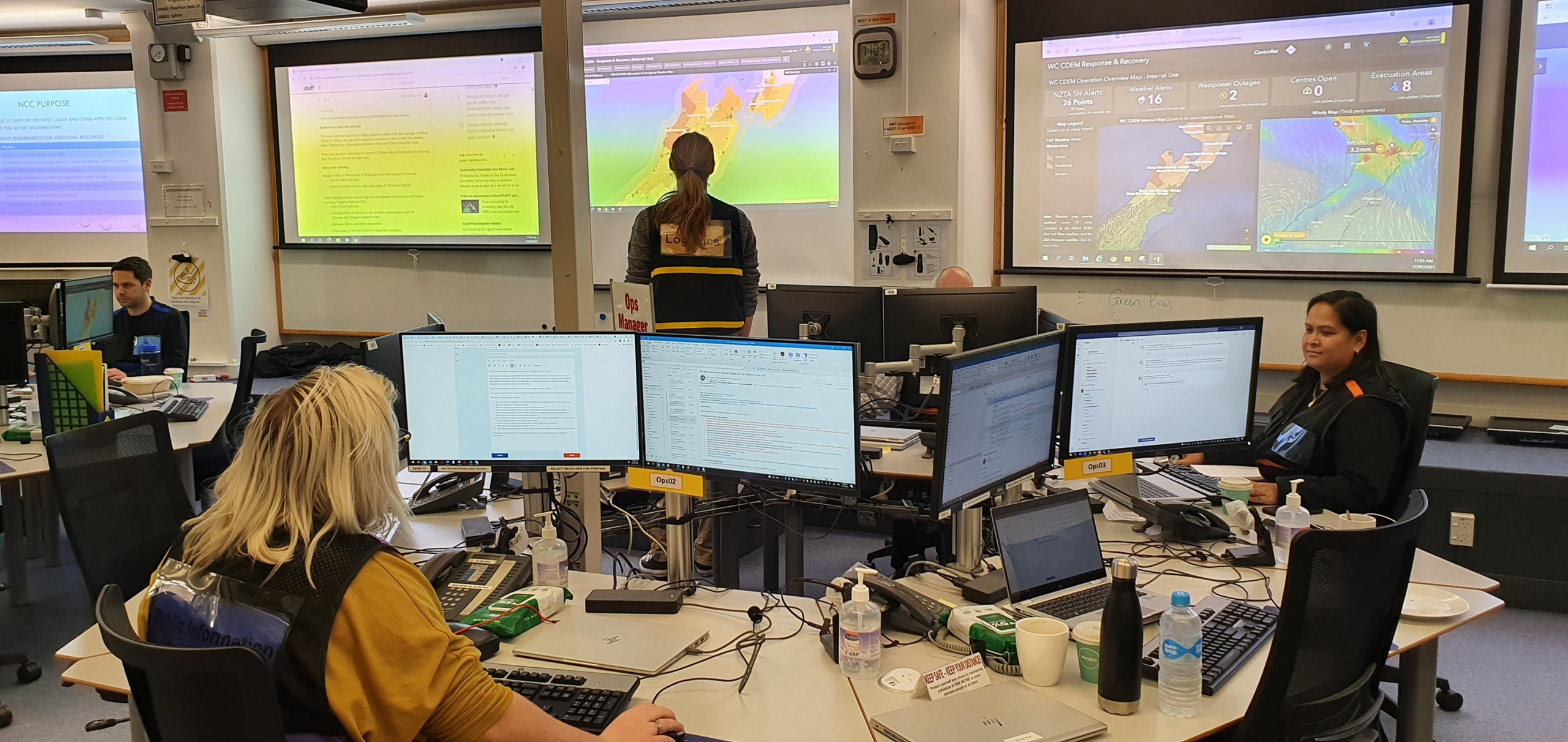
    GIS has become integral to managing emergencies in New Zealand. This includes many Emergency Management-focussed organisations who use and embed it within their intelligence processes to collect, store, analyse and display information for decision-making before, during, and after events.

    Alongside this, many organisations that do not have an Emergency Management focus but who do carry out vital operations (such as utilities, transportation or agriculture) also use GIS to assist with their planning and work when they are affected by adverse events.

    As part of this, the team at Eagle Technology has a long history of supporting our customers during emergencies in a variety of ways and so, in order to better streamline this work, we have recently introduced a dedicated channel to request assistance. This includes a dedicated email that is monitored by our specialists within business hours and is designed to assist you in getting specialist GIS support required in an emergency.

    EMSupport@eagle.co.nz

    Once the email request is received, we triage and allocate our resources and expertise to assist you based on your requirements. We will do our best to support you when you need it most and this may include emergency licensing, technical support, application templates, and much more.

    To complement this the Eagle Technology Emergency Hub is our new landing page for GIS technical resources no matter what your event. It brings together authoritative and publicly available content which others have found useful in previous events, in a single place. This is a new iteration of our COVID-19 site and will be updated regularly as new resources become available.

    As always, the best way to deal with emergencies is to be prepared and so the team at Eagle Technology has developed a series of workshops and other training resources to assist in upskilling your team to be able to make the best use of the ArcGIS tools for many aspects of emergencies. These include optimising field assessment workflows; configuring dashboards to get a complete picture of the situation in real-time; and best practices regarding securely sharing and consuming other authoritative GIS data sources. You can learn more about these on our training webpage as well as watch a recording of the recent Emergency Management Webinar.

    We are proud to be able to support the work that you all do to support our communities to better withstand impacts from adverse events, and with these new resources, allow you to get the capabilities, content, and support you need faster – when you need it most.

  • GIS Technology for NZ Agriculture

    GIS Technology for NZ Agriculture

    Agriculture is one of New Zealand’s leading industries, employing thousands of people and contributing to a significant portion of the country’s overseas trade. With this scale, it is unsurprising that regulation is increasing as part of ensuring that economic gains of agriculture do not come at too high a cost to the environment alongside an increasing consumer desire, both domestically and overseas, for sustainably produced food.

    Given this increasing pressure and intensity, there has also been a huge increase in the number of apps created for the sector over the last few years. These apps range from those provided by large sector players (such as the fertiliser providers) to those created by small, focussed start-ups, but what has been particularly interesting is that almost all of these have spatial technology embedded inside in some form. While this spatial technology ranges from dropping a map in the corner of the user interface for context, to having full spatial analysis using machine-learning, it does reinforce the importance of location to those whose work is intrinsically linked to the land.

    Eagle Technology’s own work in the agriculture sector is focused upon using location for connecting otherwise disparate datasets, producing insightful and compelling maps and connecting users across organisations.

    Map Images represent demonstration data only

    We recognise that in agriculture especially, key decisions are being made at a national, regional, local and paddock level every day and that these decisions affect both the environment and the viability of farmers’ businesses. Therefore, having connected and data data-driven tools, combined with accurate and authoritative sources of data in the hands of all decision-makers is key to achieving the best outcomes.

    This is work we have been doing for many years through providing ArcGIS solutions and while there has been a great range, both in scale and scope, of ArcGIS applications, they can be summarised into 5 key areas:

    • Mapping & visualising all farm-related data – bringing data in many forms into the GIS as a “one-stop shop” live view of farm operations and assets. Alongside the farmers’ own data, data sources include external sources from councils, satellite imagery, slope, land parcels and other data which is included inside ArcGIS.
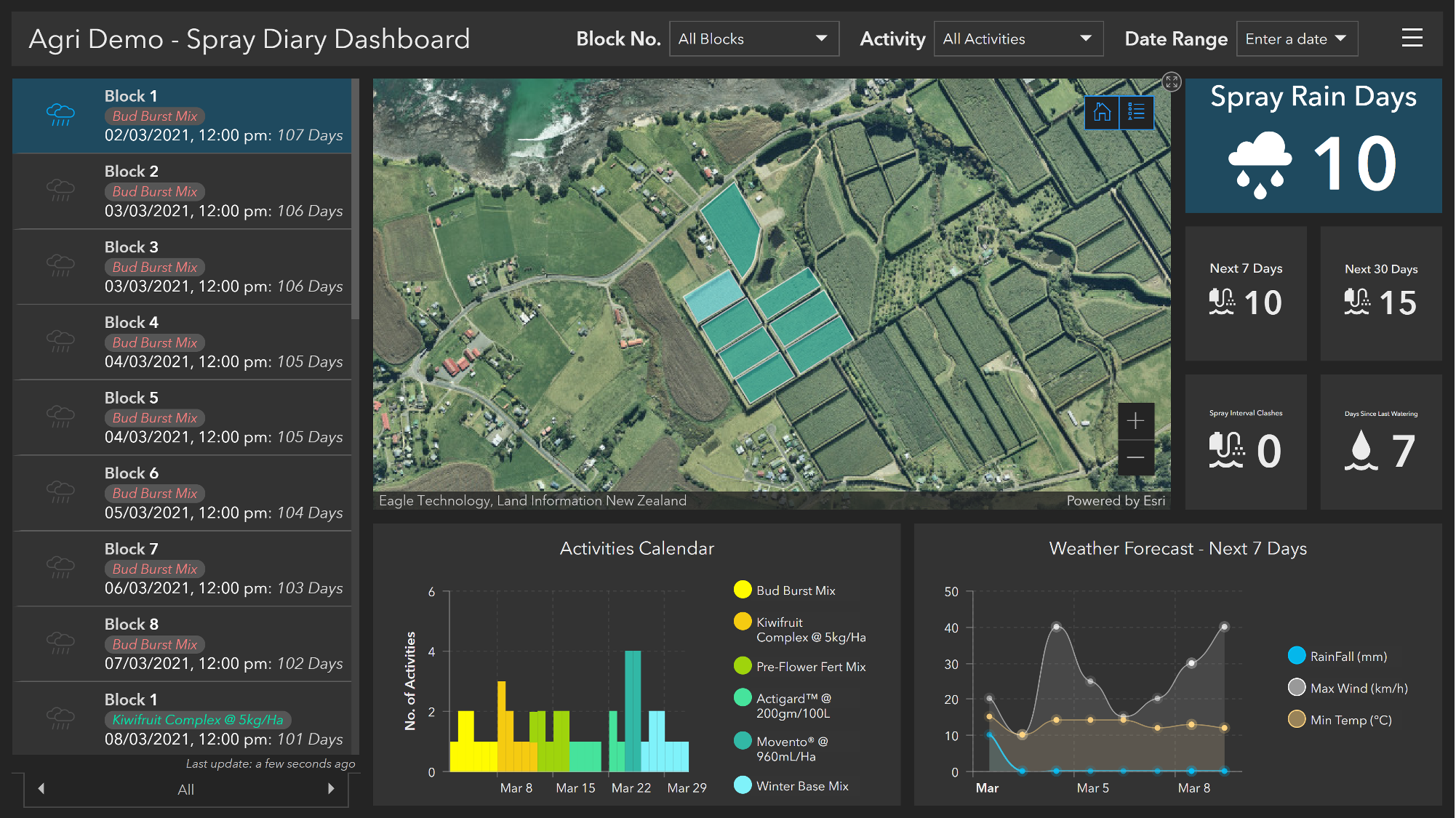
    • Better understanding crop health & productivity – using various location-based data sources within blocks/paddocks (yield/pests/quality) to visualise and model the health and productivity of crops and/or livestock.
    • Monitoring farms with sensors & drones – capturing data in near real-time which allows us to understand how things are changing across the farm and connecting these to other data layers.
    • Improving compliant & sustainable practices – supporting land stewardship through identifying, reporting, and mitigating issues with simple to use apps and reporting tools that combine to give a living record of the land.
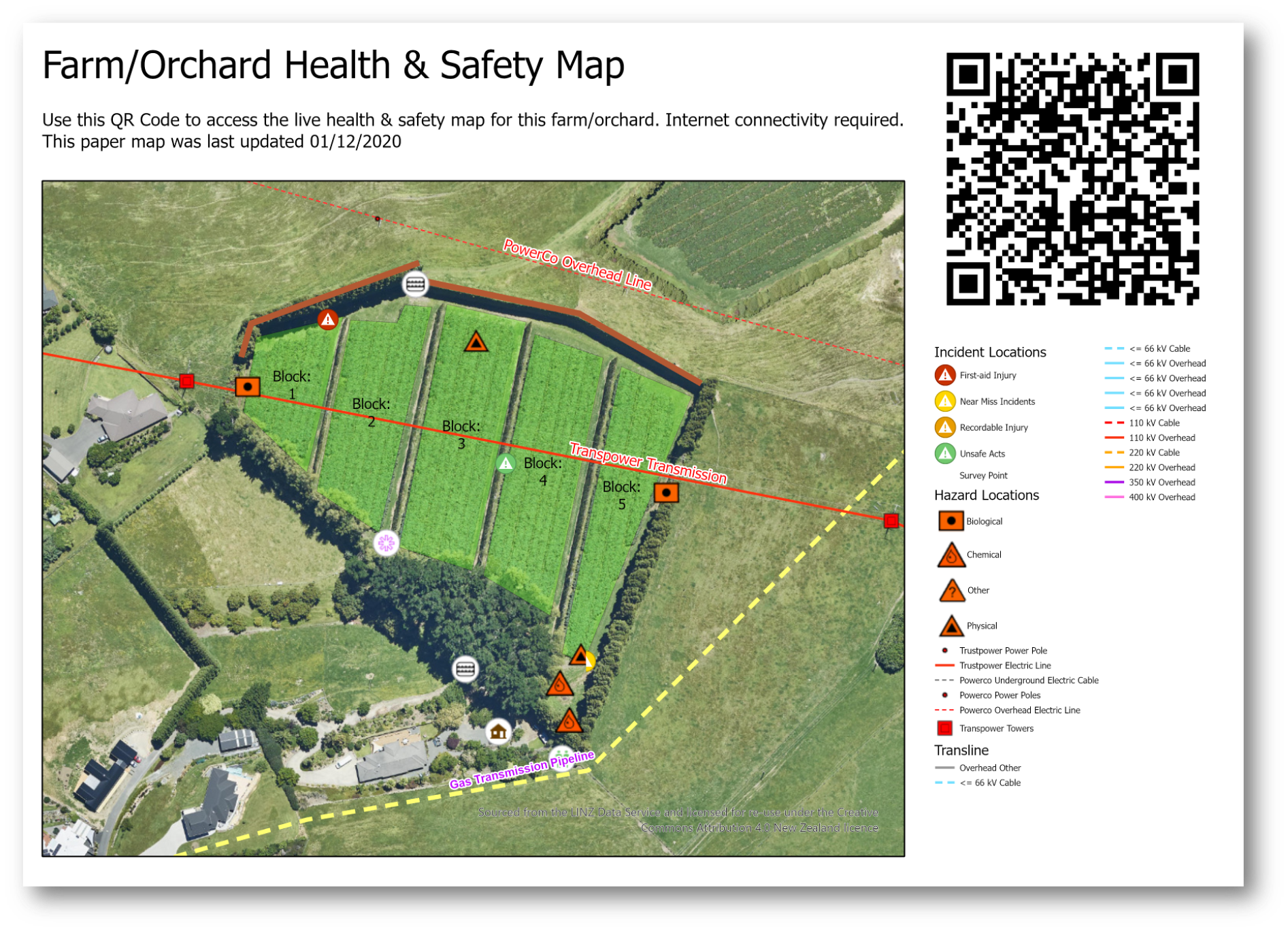
    • Making our farms safer – promoting safety through awareness of hazards as well as easy reporting of incidents and hazards using apps while also supporting data sharing between systems.

    Across all these areas there is also a range in the levels of complexity or sophistication. For many applications, the key is using proven technology configured to the specific workflows and environments of the agricultural sector. Mobile technology is a good example of this where we have seen great benefits through taking the next generation of Esri’s field apps and dashboarding tools out onto farms, capturing everything from health & safety hazards or farm assets and measuring crop health or fruit quality. Another is access to high-quality, accurate data such as Eagle’s Imagery Basemaps which can be taken offline using the apps and which can be augmented to be even more up to date by adding premium imagery from our Planet, Maxar and Nearmap data partners.

    At the more “cutting edge” end of the spectrum, here at Eagle Technology we’ve been involved in some pretty exciting areas, including integrating ArcGIS with blockchain to support provenance use cases; as well as the great work being done with advanced image analysis and deep learning – using satellite and aerial imagery to understand variables such as nitrogen levels or soil moisture.

    One recent and significant change is how all of this capability can be consumed. This has come about with the introduction of ArcGIS Platform. This is a developer-focused business and technology model designed for those who wish to geo-enable their own technology with the rich ArcGIS capabilities but without turning their application or licensing models into an actual GIS. Allowing you to use basemaps and analysis on a consumption basis and to use this with other non-Esri mapping technologies such as Leaflet or MapBox.

    Of course, none of these approaches are mutually exclusive areas and one of the major benefits of using a system like ArcGIS is joining the dots of apps, data and workflows: allowing data to be easily captured and analysed and then made available via apps, dashboards and WebMaps to decision-makers, all in near real-time – a pattern we are increasingly seeing on farms, vineyards and forests across New Zealand. Alongside this is the current work being done by AgriTech NZ around spatial data interoperability between systems – work which we at Eagle are heavily involved in and see as unlocking some real opportunities for data sharing between systems.

    To learn more about the developments in this area come and see us at the 2021 Fieldays stand or check out the Eagle Technology AgTech Page.

    Map Images represent demonstration data only