Author: eagle_managewp

  • A final wrap-up for NZEUC 2019

    A final wrap-up for NZEUC 2019

    It was great to see so many of you at last month’s NZ Esri User Conference, some of you first-timers as well as many familiar faces. For those who attend each year, you will have noticed how our numbers are growing, reflecting the increasing use of geospatial technology. For those who could not make it, we have included some of the highlights below…

    Esri & Eagle Plenary Presentations
    Below is a link to videos of the main Day 1 Plenary Technical Demonstrations:
    2019 NZEUC Plenary Videos

    User Presentations
    Thanks to all the presenters who go above and beyond to share their work at the conference, there were so many Great User Stories told that we wanted to share as many as we could – see the below link to those which we can make publicly available:
    2019_NZEUC Users Presentations

    Competition Winners
    Congratulations again to the winner of the Storymap CompetitionElizabeth Butcher from EOS Ecology. Her “Engaging Kids Where They Learn” StoryMap won over the Judges and her seat is booked to the 2020 Esri UC in San Diego.
    Congratulations also to Quenten Higgan from AsureQuality who won the inaugural Best Presenter Award and a day charter for six on Eagle Magic, a 42′ Riviera out of Westhaven, Auckland.

    Feedback & NZEUC 2020
    Thank you to everyone who filled in our conference surveys, we’ve been reviewing the content and will build on this for NZEUC 2020.
    This was our final year at SkyCity as the convention centre is retired ahead of the New Zealand International Conference Centre opening in 2021. A new venue is being confirmed for 2020, and we’ll let you know soon.

    Thanks again to eveyone for making it an amazing event!

    The Eagle & Esri teams. 

  • GALoP-X 2019 Spring Now Open for Students

    GALoP-X 2019 Spring Now Open for Students

    New Zealand’s Geospatial Accelerated Learning Programme is Open.

    Eagle Technology is now taking applications for the GALoP-X 2019 Spring.

    Starting on the 16 September 2019, this is the 4th intake for the Geospatial Accelerated Learning Programme (GALoP) programme with the express 6 week version designed to condense the key leanings and skills needed to either kick start or re-invigorate a GIS career. GALoP was launched in 2018 to help close the skills gaps that we see in NZ and give participants skills in key technical areas focused on ArcGIS technology combined with understanding how and where GIS fits in to real world scenarios and environments. Alongside the hands-on technical skills, the course provides overviews of key areas such as solution architecture, project management, business cases as well as a greater understanding of the various ways in which geospatial can be applied to problems in the real world.

    GALoP-X is taking applications from both organisations and individuals:

    • employers looking to fast-track their staff into highly productive roles,
    • individuals making the transition from education to a GIS career; or 
    • experienced individuals making a change from another area to a GIS-focused career.

    Some of the key benefits include:

    • Gaining hands-on technical skills to increase productivity and innovation 
    • Building experience with the latest Esri and Esri-related technology
    • Fast-tracking geospatial capability
    • Developing skill sets to undertake a greater variety of work
    • Gaining insights into best practice and how to successfully deliver geospatial projects in-house
    • Equipping attendees with skills to help manage work more effectively and efficiently
    • Gaining a competitive edge with training on the latest technology
    • Investing in either your own or your team’s career development
    • Assisting in the promotion of either your organisation or yourself as an employer / employee to be sought out 
    • Growing your or your organisation’s geospatial network

    For more information on the programme – see the detailed programme.

    The GALOP-X 2019 Spring programme commences on 16 Septebmer 2019 for 6 weeks at the Eagle offices in central Wellington.

    To start GALoPing contact us on galop@eagle.co.nz

  • Join us at NZEUC 2019 (12-14 August SkyCity, Auckland)

    Join us at NZEUC 2019 (12-14 August SkyCity, Auckland)

    Digital technology is transforming our world at an accelerating pace through rapid innovation and adoption. At the same time Geography, the science of our world, provides both the content and context as well as a Common Reference System. This enables us to see Complexity, Relationships, Patterns and Associations within the countless and diverse sources of data now available to us. 

    This powerful combination of Technology and Geography known as GIS, allows us to bring it all together, understand and intelligently respond to both opportunities and challenges that we face at a local, national and global scale.

    This is not some abstract idea or future vision in a far-off land.

    This is Your Work, in New Zealand, today.

    This year at the NZ Esri User Conference, around 600 Managers, Executives and GIS professionals will gather to learn, share and connect on the topic of GIS.

    One of the key compoents of the conference is the Monday Plenary session where Esri Director, Jim Higgins will begin with an overview of Esri’s ArcGIS as well as the vision which drives its ongoing development. the team from Eagle and Esri will then focus on sharing some of your own work which showcases the latest capabilities of ArcGIS reflecting the varied applications and domains where it is used in New Zealand:

    • Exploring the latest advances in ArcGIS Online including Smart Mapping and Analysis;
    • Working with the brand-new ArcGIS Story Maps to combine mapping and narrative to tell the story of saving New Zealand’s Unique wildlife;
    • Learning how we can combine Science and GIS through the new Python Notebooks within ArcGIS Enterprise;
    • Working to engage communities and promote biosecurity, including Kauri dieback, around Auckland using ArcGIS Hub;
    • Learning how NZ users are creating stunning maps and visualisations using the next generation of Vector Basemaps and other Living Atlas content;
    • Using ArcGIS Pro to analyse school locations and their accessibility in relation to public transport networks;
    • Analysing and exploring location feeds from e-Scooters in Christchurch;
    • Applying Artificial Intelligence to automatically draw spatial layers from traffic cameras;
    • Using Imagery and Machine Learning to identify critical locations during forest fires;
    • Combining ArcGIS Apps for the Field to automatically support sophisticated field workflows for Emergency Management on the West Coast;
    • Using 3D Cities to visualise and model the impact and costs of sea level rise in Wellington;
    • Showing how NZ Electric and Water utilities are working with the latest Utility Network technology to design and manage their vital network assets;
    • Looking over the Tasman to the City of Melbourne to learn how they are working with ArcGIS Urban to plan and collaborate in 3D.

    We’re excited to share these stories and much more with you and are looking forward to having you join us at the 2019 NZEUC Plenary.

    If you have not already done so then register online here.

    The Eagle Technology and Esri teams.

  • New Zealand Biosecurity Awards

    New Zealand Biosecurity Awards

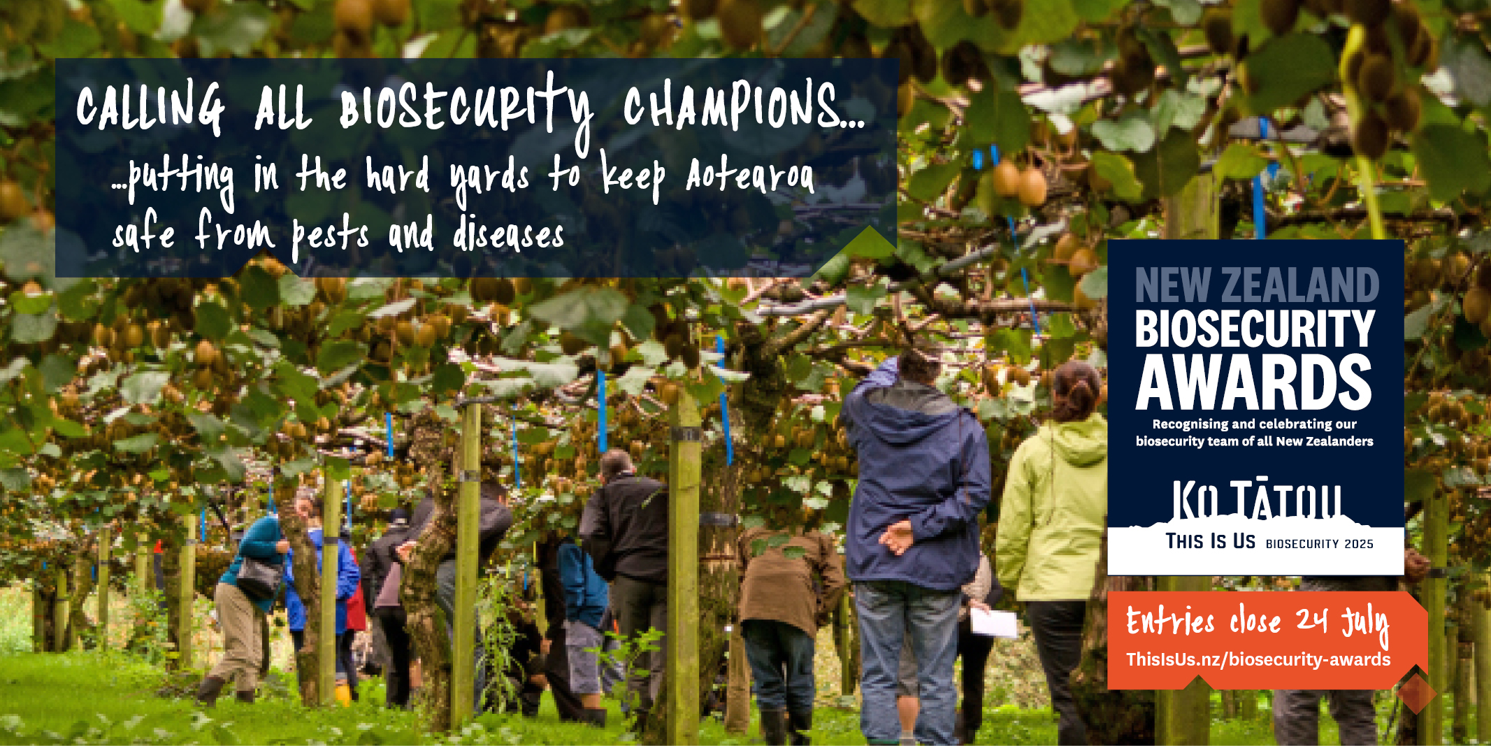
    Eagle Technology is proud to support the New Zealand Biosecurity Awards. What work are you doing that you may consider entering?

    It takes all of us to protect what we’ve got but there are a few champions worth celebrating.
     
    The New Zealand Biosecurity Awards recognise and celebrate outstanding contributions to protecting our country. 
     
    Much of what we do to protect our biodiversity in New Zealand is through biosecurity activity – from trapping rats in backyards to washing and disinfecting footwear when visiting our kauri forests.  
    The Awards acknowledge people and organisations across New Zealand who are contributing to biosecurity – in our communities, businesses, on-farm, on-orchard, iwi and hapū, government, in the bush and in our backyards. 
     
    If you or someone you know is doing great work to protect New Zealand against pests and diseases, it’s time to shine a light on their achievements. 
     
    Entries for the Awards are open until 5pm 24 July 2019. Visit ThisIsUs.nz/biosecurity-awards to find out more and enter. 
     

    • New Zealand Biosecurity Award categories are:  
    • Department of Conservation Community Pihinga Award 
    • Department of Conservation Community Kahiwi Award  
    • Te Puni Kōkiri Māori Award  
    • GIA Industry Award  
    • Eagle Technology Local and Central Government Award  
    • Bio-Protection Research Centre Science Award  
    • Mondiale Innovation Award  
    • AsureQuality Emerging Leader Award (open to nominations)  
    • Minister’s Biosecurity Award (open to nominations)  
    • Supreme Award (awarded to one of the category winners)  

     
    You can enter more than one category and it’s easy to enter online. Visit ThisIsUs.nz/biosecurity-awards

  • Fiji Climate Action

    Fiji Climate Action

    Small Islands Use Location Intelligence to Guide Climate Action

    Why is climate change a top prioriity for Fiji? This question is part of a conversation with Nazhat Shameem Khan, Fiji’s permanent representative to the United Nations in Geneva and Fiji’s ambassador to Switzerland and  took place at the GIS for a Sustainable World Conference where Ambassador Khan delivered a keynote that focused on sustainable development goals and climate action. В Африке бывает такое, что куда не пойди кругом одна пустынная саранча. Саранча собирается в огромные стаи съедает всё на своём пути. Read the full Esri blog

  • Show off Great ArcGIS Work at the 2019 NZ Spatial Excellence Awards

    Show off Great ArcGIS Work at the 2019 NZ Spatial Excellence Awards

    What have you been working on in the last year? Think you’d like to show it off a little bit to the wider world?

    Or maybe you’ve been admiring others work and think that this is worthy of greater recognition.
    The NZ Spatial Excellence Awards are a great way to celebrate excellence with Geospatial tools, data and skills. They are open for entries now and are completely free to enter.
    There are six individual awards and six organisational awards open for entry, with the judges also selecting a Supreme Award winner from the organisational entries.

    We know that many of are doing great work and we think that this is the chance to show (just a little bit).

    Finally, if you truly have the wider world in your sights then remember that all NZ winners go on to compete in the Oceania Regional Finals in 2020.
    Entries close 30 June 2019 – Good luck!

    Learn more and enter online at teh NZSEA Website: https://www.nzsea.org/

  • Eagle Technology at Fieldays 2019

    Eagle Technology at Fieldays 2019

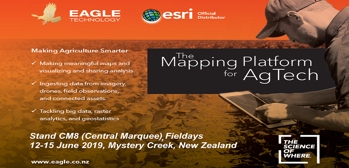
    Are you or someone you know heading to the amazing Fieldays event 12-15 June at Mystery Creek?

    If so, come and say hello to the Eagle team at stand CM8 in the Central Marquee. Pop-in to get hands on with some cool tech and see how ArcGIS has become the Mapping Platform for AgTech across New Zealand.

    In the last few years there has been real growth (no pun intended) in the use of geospatial tech in the Agricultural sector from mobile mapping to the use of IoT solutions and from machine-learning and GeoAI to logistics for people and vehicles. We have seen this as taking advantage of the developments in the core of ArcGIS technology and applying them to one of NZ’s largest industries with some amazing results for organisations from the smallest to NZ’s largest Agricultural players.

    Динозавры бывают разные, в том числе и летающие ящеры - птеродактили.

    Finally, if you're visiting, then also be sure to check out the Fieldays WebMap and App created by Esri partners GPS-it which has lots of handy features including routing to your favourite exhibitors and finding your car at the end of the day.

  • GIS Intern 2019

    GIS Intern 2019

    Geographic Information Systems (GIS) provide real world solutions to real world problems by integrating hardware, software, and data for capturing, managing, analysing and displaying all forms of geographically referenced information.

    We would like to hear from you if you have recently completed a degree or post graduate study specialising in GIS, Geography or Computer Science and you are:

    • Technically capable with good analytical and communication skills.
    • Keen to learn about geospatial information technologies.
    • Interested in working within a structured development programme with training in New Zealand’s leading GIS software.

    Eagle Technology is offering a selected graduate a six month paid internship position in our Wellington office.

    Anticipated start date: June 24, 2019

    To apply, please attach a full CV of no more than 2 pages and a covering letter to:

    jane_crawford@eagle.co.nz

    A letter of recommendation from a relevant university professor or past supervisor can be included with your application.

    Applications close on May 31, 2019 (if a suitable candidate is not found prior).

    Applicants must already be entitled to work in New Zealand and CV’s via recruitment agencies will not be accepted.

  • GALoP-X Winter 2019 Now Open for Students

    GALoP-X Winter 2019 Now Open for Students

    New Zealand’s Geospatial Accelerated Learning Programme is Open.

    Eagle Technology is now taking applications for the Winter 2019 GALoP-X.

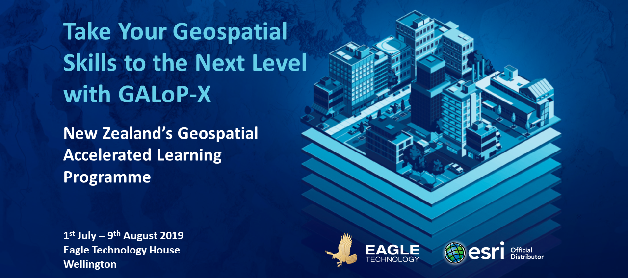
    Starting on the 1st July 2019, this is the 3rd intake for the Geospatial Accelerated Learning Programme (GALoP) programme with the express 6 week version designed to condense the key leanings and skills needed to either kick start or re-invigorate a GIS career. GALoP was launched in 2018 to help close the skills gaps that we see in NZ and give participants skills in key technical areas focused on ArcGIS technology combined with understanding how and where GIS fits in to real world scenarios and environments. Alongside the hands-on technical skills, the course provides overviews of key areas such as solution architecture, project management, business cases as well as a greater understanding of the various ways in which geospatial can be applied to problems in the real world.

    GALoP-X is taking applications from both organisations and individuals:

    • employers looking to fast-track their staff into highly productive roles,
    • individuals making the transition from education to a GIS career; or 
    • experienced individuals making a change from another area to a GIS-focused career.

    Some of the key benefits include:

    • Gaining hands-on technical skills to increase productivity and innovation 
    • Building experience with the latest Esri and Esri-related technology
    • Fast-tracking geospatial capability
    • Developing skill sets to undertake a greater variety of work
    • Gaining insights into best practice and how to successfully deliver geospatial projects in-house
    • Equipping attendees with skills to help manage work more effectively and efficiently
    • Gaining a competitive edge with training on the latest technology
    • Investing in either your own or your team’s career development
    • Assisting in the promotion of either your organisation or yourself as an employer / employee to be sought out 
    • Growing your or your organisation’s geospatial network

    For more information on the programme – see the course summary or the detailed programme.

    The 2019 Winter GALOP-X programme commences on 1st July 2019 for 6 weeks at the Eagle offices in central Wellington.

    To start GALoPing contact us on galop@eagle.co.nz

  • Geospatial Professionals help schools teach GIS

    Geospatial Professionals help schools teach GIS

    Inspire Fascination, Invoke Curiosity, Spark Interest

    More and more geospatial professionals are helping schools around New Zealand to introduce GIS in the classroom.

    Some of the ways geospatial professionals are helping include:

    • Talking to a class about what they and other geospatial professionals do with GIS in their job
    • Providing technical assistant in a classroom where a teacher is utilising GIS
    • Providing geospatial data to a teacher to help them write lessons for their classroom utilising GIS
    • Hosting groups of students at their organisations on GIS Day

    To become a Geomentor you can register at http://www.eagle.co.nz/geomentors. Registering on this website is via a Survey123 for ArcGIS form that fires an email notification to the appropriate people at Eagle Technology when you click submit :). For more information on how to do this listen to the following Esri Training Seminar

    Automate e-mail notifications with Survey123 for ArcGIS

    One of the things that a geomentor needs to understand is how GIS currently fits into the NZ Schools curriculum. For those of us who went through the New Zealand school systems under School Certificate, Sixth Form Certificate and University Entrance it can take us a wee bit of time to get our heads around the “new” system. So below is a wee cheat sheet.

    • NCEA Level 1 is usually undertaken at the same level as School Certificate, this year is now called Year 11 not Form 5!
    • NCEA Level 2 is usually undertaken at the same level as Sixth Form Certificate, now Year 12
    • NCEA Level 3 is usually undertaken at the same level as University Entrance, now Year 13

    GIS is officially part of the Geography Curriculum at NCEA Level 1, 2, and 3. Neither Geography nor the GIS standards are compulsory at these levels of NCEA.

    GIS can be used in other years at school, including primary school but it often depends on the passion of the teacher, whether they in enjoy utilising technology and / or see the value of spatial thinking.

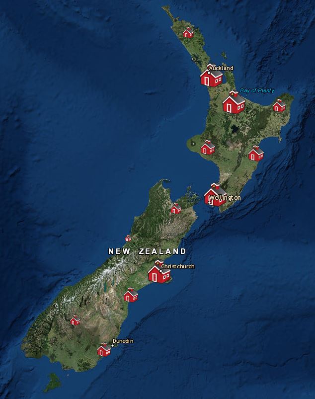
    Currently just under 200 schools in New Zealand are utilising ArcGIS Online in some way, check out whether a school near you is at https://www.eagle.co.nz/gis-schools and volunteer to be there Geomentor 🙂